What is recorded here
Not marked on the 1842 OS map, on the 1916 OS map it is marked as 'Purtaheen'. Situation Description: O'Donovan (OSNB) mentions a holy well in this townland, but he does not give it a name. No trace of this well could be found. Toal, ‘North Kerry Archaeological Survey’. Dingle. Brandon in association with FAS Training and Employment Authority (1995), no. 923.
From the National Monuments Service (Archaeological Survey of Ireland) record KE014-024
The monument record does not grant public access. Check the route and ask the landowner before entering private land.
- What survives
- Recorded monument
Places near here
Photo credits
- National Inventory of Architectural Heritage
- Neville Goodman, Geograph · Creative Commons Attribution-ShareAlike 2.0
- Colin Park, Geograph · CC BY-SA 2.0
- kevin higgins, Wikimedia Commons · CC BY-SA 2.0
- Wikimedia Commons contributor · Public domain
- Bernard, Geograph · CC BY-SA 2.0
- Jonathan Thacker, Geograph · CC BY-SA 2.0
- JohnArmagh, Wikimedia Commons · Public domain
- Adrian Platt, Geograph · CC BY-SA 2.0
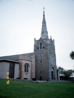 Saint Mary's Catholic ChurchChurch/chapel · 271 ydLosgortarughelArchaeological place · 452 yd
 Our Lady's Holy WellSpring · 1172 yd
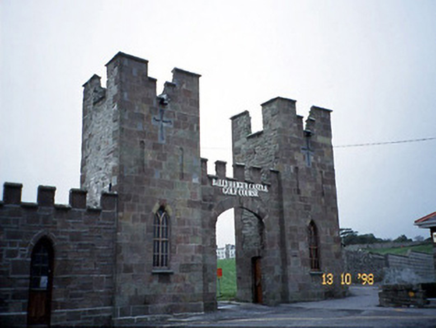 Ballyheige CastleGate lodge · 1.1 mi
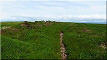 Maulin MountainMountain / peak · 2.6 mi
 Triskbeg MountainMountain / peak · 3.2 mi
 Inshaboy PointHeadland · 3.3 mi
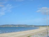 Banna StrandBeach / strand · 4.7 mi
 CrossCross, High cross · 5.1 mi
 Ardfert FriaryVisitor information · 5.1 mi
 Ardfert CathedralHeritage attraction · 5.1 mi
 Ardfert Franciscan FriaryVisitor information · 5.2 mi
More archaeology and monuments in County Kerry · All of County Kerry
What do you know about this place?