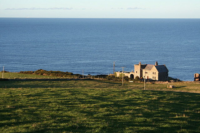
What is recorded here
IrishHistory.com is passionate about helping people discover and connect with the rich stories of their local communities. Please use the form below to submit any photos you have of Promontory fort – inland, Glasleck, Co. Cavan. We're happy to accept any suggested edits you have too. Please be advised it will take them some time to review these submissions. Thank you.
Aerial photographs (GB91.DM.28 and 29) show cropmarks of three widely spaced curved fosses defining an enclosure overlooking a river, located approximately 200 metres east of where the river enters the eastern shores of Lough Sheelin.
Compiled by: Dr. Gillian Barrett for the Archaeological Survey of Ireland
Date of upload: 22 December 2010
The monument record does not grant public access. Check the route and ask the landowner before entering private land.
- What survives
- Recorded monument
Places near here
 Crover Old Castle (in Ruins)Castle, tower house · 473 yd
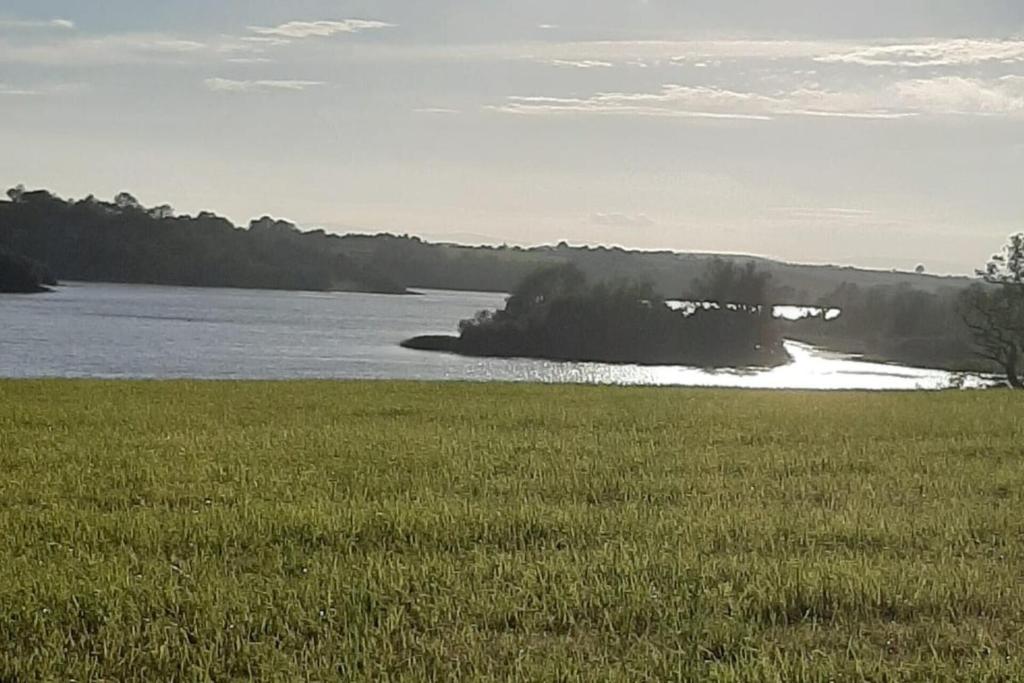 Dinner IslandIslet · 527 yd
 Stony IslandIslet · 903 yd
 In Loving Memory of Killian CaseyMemorial · 1092 yd
 Old R. C. ChapelChurch · 1385 yd
 CrossCross, Wayside cross · 1404 yd
 Fairy fort / earthen ringfort in Garrysallagh (o'reilly)Fairy fort / earthen ringfort · 1452 yd
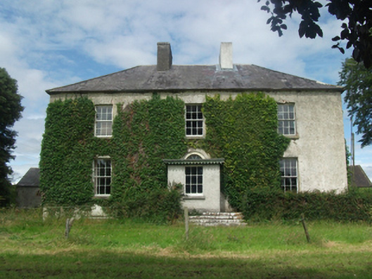 Woodlawnhouse · 1545 yd
 Ross CastleCastle, tower house · 1.4 mi
 Bob's GroveForest · 1.6 mi
 Ross BayBay · 1.7 mi
 Muldarry PointHeadland · 1.8 mi
Other information
Photo: Credit not shown in the picture search · Rights wording not checked; contact us if this picture should be removed