
What is recorded here
A possible promontory fort consisting of a narrow west-facing headland cut off from the mainland by a substantial earthen bank was seen from the air on the coastline between Cliffony and Grange villages (Casey 1999, 198). Its exact location could not be identified on OS maps or on the ground.
Compiled by: Jane O’Shaughnessy
Date of upload: 4 December 2018
A local fairy fort (ringfort/rath); wider significance not recorded.
The monument record does not grant public access. Check the route and ask the landowner before entering private land.
- What survives
- Recorded monument
Places near here
 Trawalua StrandBeach / strand · 998 yd
 Classiebawn Castlecountry house · 1.1 mi
 Classiebawn WoodsWood · 1.2 mi
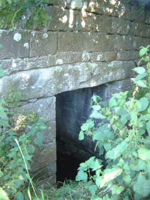 bridgebridge · 1.4 mi
 Unbaptised Children MonumentMemorial · 1.5 mi
 CaveFairy fort / earthen ringfort · 1.7 mi
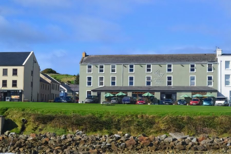 Tober PatrickHoly well · 1.7 mi
 Mullaghmore HeadVisitor information · 2.1 mi
 Wild Atlantic Way: Mullaghmore HeadVisitor information · 2.1 mi
 Creevykeel Court TombNeolithic court tomb · 2.2 mi
 assassination of Louis Mountbatten, 1st Earl Mountbatten of Burmaassassination · 2.2 mi
 Connors IslandIsland · 2.4 mi
Other information
Photo: Credit not shown in the picture search · Rights wording not checked; contact us if this picture should be removed