What is recorded here
Portnafrankagh stretches twenty-four hectares across the Mullet peninsula, forcing every visitor to walk kilometers past grassed-over hut circles before reaching the collapsed neck wall. Sheep still graze the cultivation ridges where human hands once shaped the soil, while sea-thrown rocks scatter the interior like forgotten bones. The fort preserves no grand entrance or standing tower, only faint ditch traces and buried passages that suggest ordinary lives continued long after its defensive purpose faded.
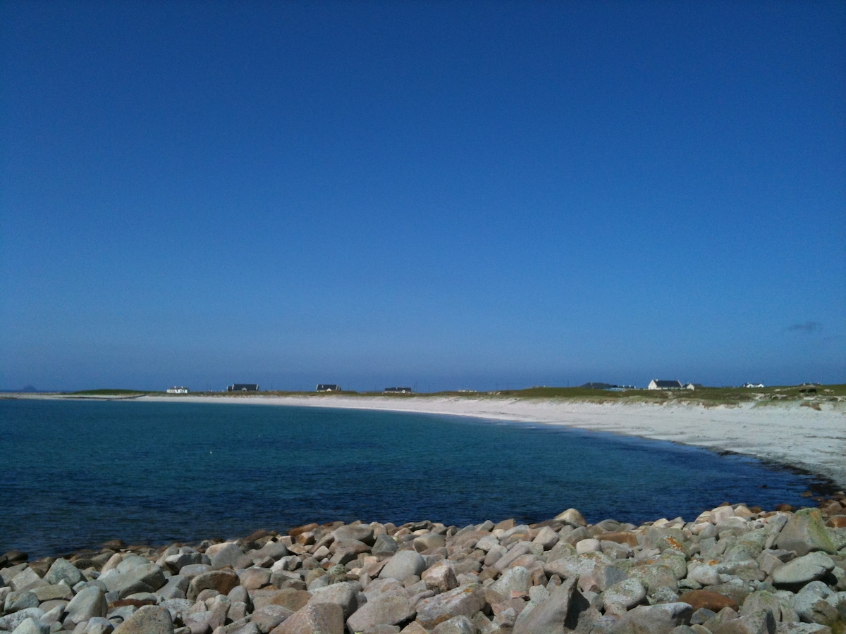
This site lies along the lowlying western shore of the Mullet peninsula in an area of sheep grazing. Rocks thrown up from the sea lie about the immediate area and in the interior of the fort. The promontory fort is covered with old cultivation ridges. The sea is easily accessible from within the fort. Named 'Portnafrankagh' by Westropp.
The enormous W-facing headland, an estimated 24 hectares in size, is defended by a curved wall running across its neck. The wall is collapsed and grassed-over, it is 170m long and was originally 1.7m wide. It is 1m high inside and 1.6m high outside and has faint traces of an inner and outer ditch. It is best preserved near the centre, deteriorating at either end. There is no original entrance surviving. The interior of the fort measures circa 600m long and circa 400m wide at its widest point. Near the eastern end traces of four hutsites (MA009-005006-, MA009-005008-, MA009-005010- and MA009-005011-) and two Man-made underground passages can be seen. The huts are 3m-4m in diameter and were sub-circular in plan. They survive only as grassed-over collapsed walls of rubble. Two lengths of collapsed Man-made underground passage lie nearby. The depressions are 0.5m to 1m deep and 0.5m wide. The walls are intermittently visible and were of drystone construction. These features are nearly totally grown over, and the cultivation of the interior of the fort probably hastened their erosion. No other features are visible within the site. Several earth and stone banks run eastwards from the wall outside the site, but their relationship with the fort is not clear. The poorly preserved internal features of the site contrast sharply with Westropp's description of Man-made underground passage with passages and chambers, huts with enclosing walls and lintelled gateways through the main rampart (1912a,210; 1912b,12).
These descriptions are derived from the MA thesis of Markus Casey 1999 The coastal promontory forts of Ireland. A survey of counties Sligo, Mayo, Galway and Clare. Unpublished MA thesis, National University of Ireland, Galway.
Date of upload: 5 December 2018
The monument record does not grant public access. Check the route and ask the landowner before entering private land.
- What survives
- Recorded monument
Places near here
 Enclosure in Tearmann CaithreachEnclosure · 296 yd
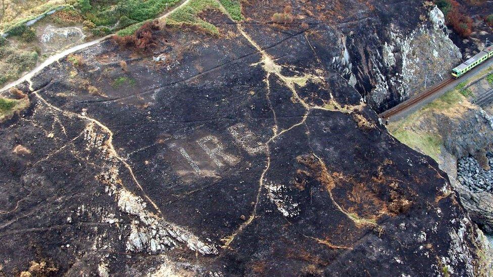 WW2 EIRE signMonument · 1138 yd
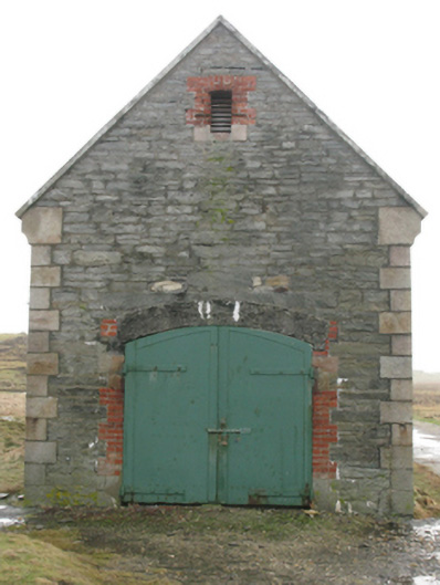 store/warehousestore/warehouse · 1331 yd
 Ceann an EanaighHeadland · 1592 yd
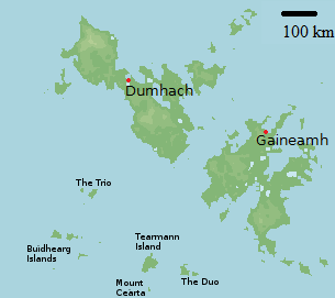 Bawn in Tearmann CaithreachBawn · 1.0 mi
 Dún na mBó BlowholeHeritage attraction · 1.2 mi
 Burkes Castle (Site of)Castle, unclassified · 1.6 mi
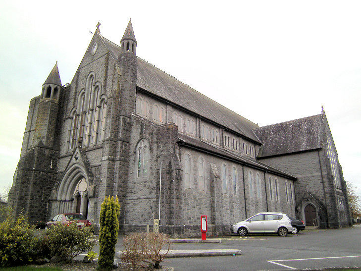 Church in An Más,tóin An MhásaChurch · 1.8 mi
 Oileán sa TuaidhIslet · 2.4 mi
 Trá Bhéal DoireBeach / strand · 2.8 mi
 Inis GluaireIsland · 3.0 mi
 Trá na CroiseBeach / strand · 3.1 mi