
What is recorded here
Identified from an aerial survey by Markus Casey, who described this monument as a broad S-facing headland, square in plan, which has a length of outcropping rock or walling running just inland of its neck. This feature does not cross the width of the promontory and neither is it exactly across its neck. A path and low bank seems to run around the perimeter of the headland, which is covered by a bed of bracken, gorse with much outcropping sandstone visible from the air. The area generally consists of poor pasture and scrub, with cleared drained fertile ground further inland. (Casey 2001)
Compiled by: Jean Farrelly
Date of upload: 24 November 2021
The monument record does not grant public access. Check the route and ask the landowner before entering private land.
- What survives
- Recorded monument
Places near here
 Site of CastleCastle, unclassified · 1051 yd
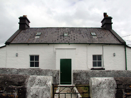 Mine Head Lighthouselighthouse keeper's house · 1120 yd
 Mionn ArdLighthouse · 1123 yd
 Embanked enclosureEnclosure · 1231 yd
 EntrenchmentPromontory fort, coastal · 1593 yd
 Ballyquinn BeachBeach / strand · 4.3 mi
 Curragh/Pebble BeachBeach / strand · 4.8 mi
 Erin's Hope 1867Memorial · 5.0 mi
 Tobar Uí GríobtháinSpring · 5.1 mi
 Ceann HeilbhicHeadland · 5.2 mi
 Ardmore Cliff WalkWalking route · 5.6 mi
 Baile StairiúilVisitor information · 5.6 mi
Other information
Photo: Credit not shown in the picture search · Rights wording not checked; contact us if this picture should be removed