
What is recorded here
Situated N of Crofton Road and York Road on the coast. A promontory fort noted by Reverend Stokes (1893, 347) as 'Dun of Dunleary' and located left of the old pier at Dunlaoghaire. A martello tower (DU023-052003-) was built in the middle of the fort. Its position is marked on Rocque's map of County Dublin (1765) as a circular mound by the harbour. The area was levelled to make way for the railway in 1834. The material from the dismantled earthwork was used to level the ground and form a foundation for the road (Casey 2001).
Compiled by: Geraldine Stout and Padraig Clancy
Revised upload on: 6 July 2018
The monument record does not grant public access. Check the route and ask the landowner before entering private land.
- What survives
- Recorded monument
Places near here
 Martello tower in DunlearyMartello tower · 29 yd
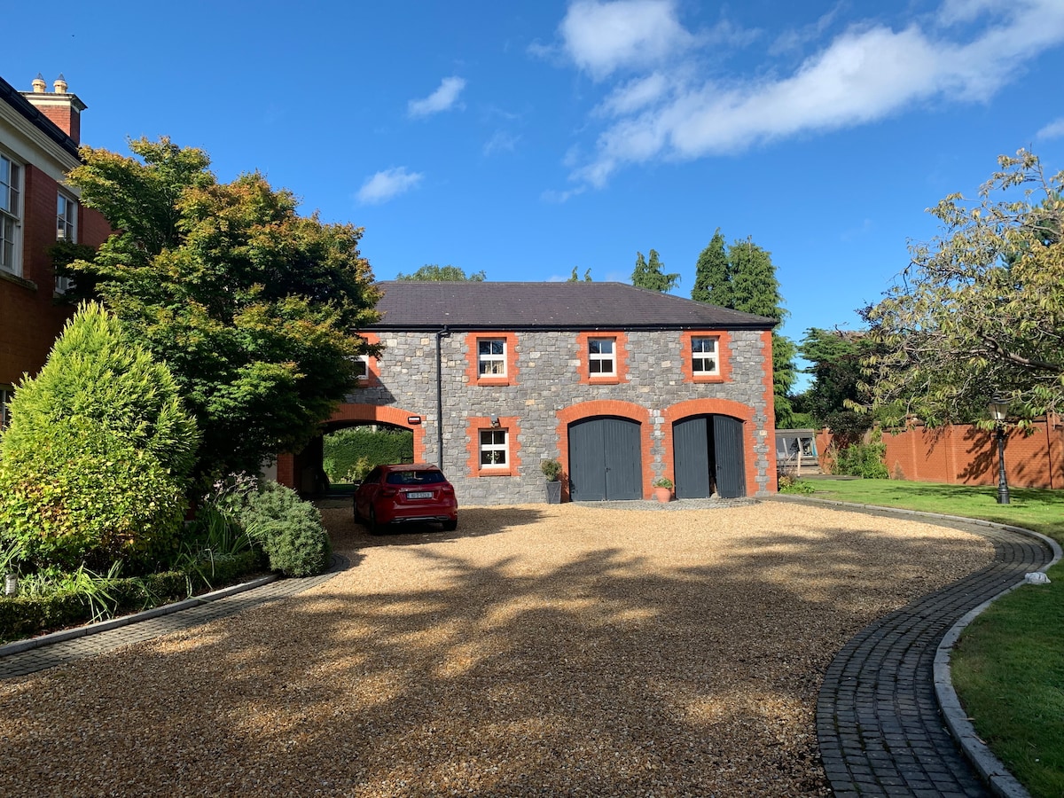 Battery in DunlearyBattery · 95 yd
 The OratoryHeritage attraction · 476 yd
 Commemorative Tower to the HobblersMemorial · 572 yd
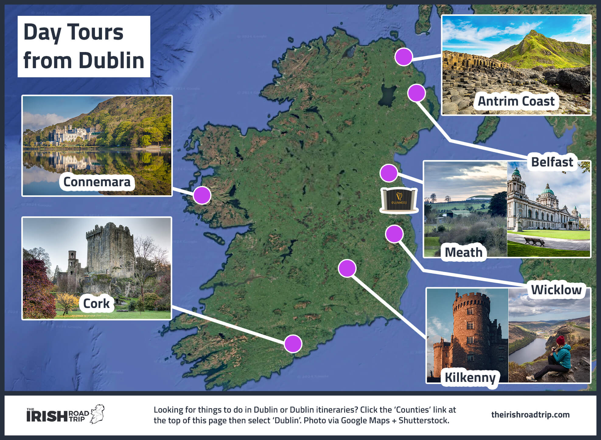 DLR TourismVisitor information · 616 yd
 Christ the KingMemorial · 743 yd
 National Maritime Museum of IrelandMuseum · 863 yd
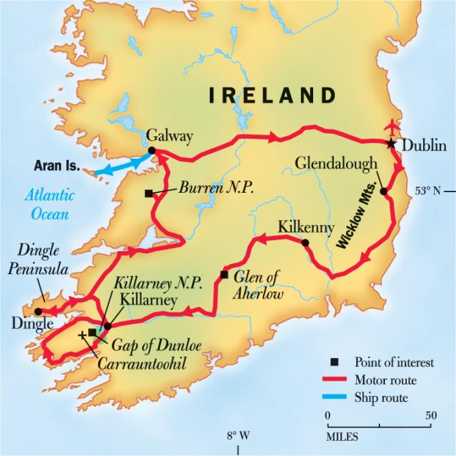 Geographic PointerViewpoint · 980 yd
 Church in Monkstown HousefarmChurch · 1030 yd
_-_geograph.org.uk_-_5029145.jpg?width=1280) Bawn in Monkstown CastlefarmBawn · 1124 yd
Bawn in Monkstown CastlefarmBawn · 1124 yd Dun Laoghaire West LighthouseLighthouse · 1128 yd
 Castle (in ruins)Castle, tower house · 1131 yd
Other information
Photo: Credit not shown in the picture search · Rights wording not checked; contact us if this picture should be removed