
What is recorded here
Situated in a flat urban site to the NE of the junction of Carrickbrennan Road and Mounttown Road Upper.
The W gable of the medieval church of Carrickbrennan is incorporated into a 17th century charnel-house (Turner 1983, 28-29). The entrance doorway in the W gable is blocked, it has a round-arch with a dropped keystone under a hood-moulding of sandstone. Above the doorway is a wide round arched window with a granite sill.
This medieval building occupies the location of an earlier site associated with the 6th century St. Mochonna, who was attached to the early monastery of Hompatrick, Skerries (Ball 1902, 41). It was held as the chapel of Carrickbrennnan by St. Mary's Abbey in the 12th-13th centuries. After the dissolution of St. Mary's, the church and tithes were given to Sir John Travers. In 1668 Sir Edward Corker re-built the church for the parish, and further works took place in the 19th century (Turner 1983, 28-29). The church is located within the walled graveyard (DU023-013002-) which contains 18th and 19th century memorials.
Compiled by: Geraldine Stout and Padraig Clancy
Revised upload on: 22 May 2018
The monument record does not grant public access. Check the route and ask the landowner before entering private land.
- What survives
- Recorded monument
Places near here
 Graveyard in Monkstown HousefarmGraveyard · 17 yd
 Monkstown CastleHeritage attraction · 105 yd
_-_geograph.org.uk_-_5029145.jpg?width=1280) Bawn in Monkstown CastlefarmBawn · 110 yd
Bawn in Monkstown CastlefarmBawn · 110 yd Castle (in ruins)Castle, tower house · 118 yd
 Burial in Monkstown CastlefarmBurial · 626 yd
 The OratoryHeritage attraction · 826 yd
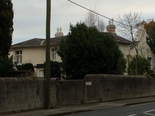 Wynberg Househouse · 953 yd
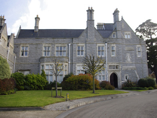 Rockfordcountry house · 963 yd
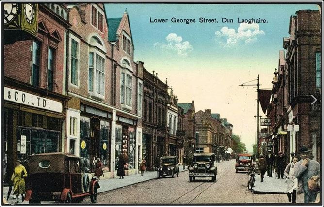 King LaoghaireMonument · 976 yd
 Nature TrailVisitor information · 1070 yd
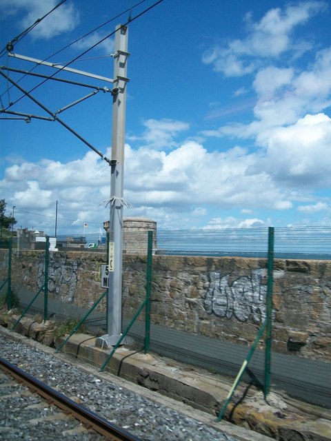 SeapointBeach / strand · 1075 yd
 DLR TourismVisitor information · 1343 yd
Other information
Photo: Joan and Max Wellman · CC BY-SA 2.0