What is recorded here
Promontory fort in County Kerry is a triangular headland where ancient earthworks still brush against a modern quarry. The sea cliffs rise vertically below while a sink hole opens at the western point, making the place feel less like a field and more like a forgotten chamber. People may have stood at that narrow neck, watching boats appear over the water before the land itself was cut away for stone.
Possible promontory fort described in 2002 as follows; 'A roughly triangular headland, now in use as a quarry, shows signs of once having been cut off at the narrow isthmus by an earthen bank and outer fosse. A modern earthen field boundary runs parallel to the earlier features. The southwest-facing headland measures 120m long and no internal features are visible. The undulating bank and fosse close to the southern cliff edge at the neck are the only features hinting at an early fortification of the headland. The immediate area consists of fertile undulating pasture. The cliffs descend nearly vertically to the shingle shore below and the sea is inaccessible from within. A natural sink hole occupies the south-western point' (Casey 2002, 43, no. N).
The monument record does not grant public access. Check the route and ask the landowner before entering private land.
- What survives
- Recorded monument
Places near here
 Man-made underground passage in Doon WestMan-made underground passage · 586 yd
 Nuns' BeachBeach / strand · 721 yd
 Doon PointHeadland · 767 yd
 Doon Catholic Churchchurch/chapel · 833 yd
 Dookeenee CastleCastle · 843 yd
 Doon Castle (in ruins)Castle, unclassified · 967 yd
 Ballybunion Cliff PathWalking route · 1219 yd
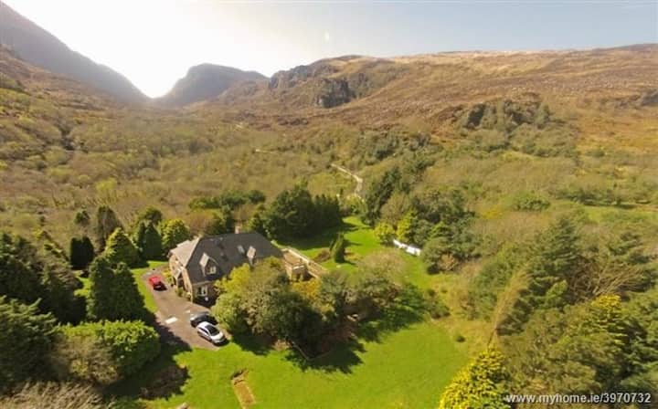 ToberreendoneyHoly well · 1302 yd
 Ladies' BeachBeach / strand · 1305 yd
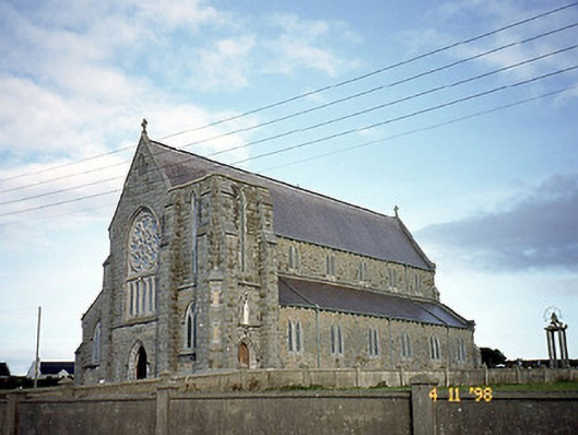 Saint John's Catholic Churchchurch/chapel · 1491 yd
 PulleenIslet · 1669 yd
 Bromore CliffsCliff · 1.0 mi