What is recorded here
Two sharp fingers of land jut forty metres into the sea beside Tonalassa, one a narrow triangle cut off by a straight earthen bank and the other a broad rectangle marked by twin shallow ditches. Neither shows an entrance gap, suggesting the fort closed itself against invasion rather than inviting trade or visitation. The surrounding pasture is fertile and drained, hinting that human hands shaped both the defence and the fields long before the fort fell silent.
Promontory fort described in 2002 as follows; 'Two fingers of land jut out 40m from a broad headland immediately south of ‘Tonalassa’ promontory fort [KE004-003----]. The northerly [KE004-066----] of the two is shaped like a narrow triangle and is cut off from the main promontory by a straight 1.5m wide earthen bank and shallow external fosse. The other headland [KE004-067----] has two shallow ditches 1m wide 5m apart running across the westerly extremity of the promontory. This headland is subrectangular in plan, measuring 18m in width. Neither has any trace of an entrance gap and evidence of earlier cultivation ridges is visible on the southernmost headland. The earthen bank running along the coastline does not include either headland. The area generally is one of gently undulating fertile cleared and drained pasture. The barrow immediately to the east has been wrongly described in the archaeological survey as a rath [KE004-004----]' (Casey 2002, 27, no. G).
The monument record does not grant public access. Check the route and ask the landowner before entering private land.
- What survives
- Recorded monument
Places near here
 Bromore CliffsCliff · 360 yd
 Doon Castle (in ruins)Castle, unclassified · 528 yd
 Doon PointHeadland · 864 yd
 Man-made underground passage in Doon WestMan-made underground passage · 1074 yd
 Doon Catholic Churchchurch/chapel · 1136 yd
 CastleCastle, Anglo-Norman masonry castle · 1378 yd
 Enclosure in Faha (iraghticonnor By.)Enclosure · 1644 yd
 Nuns' BeachBeach / strand · 1.1 mi
 Ballybunion Cliff PathWalking route · 1.4 mi
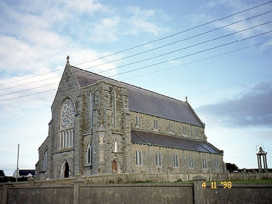 Saint John's Catholic Churchchurch/chapel · 1.4 mi
 Ladies' BeachBeach / strand · 1.5 mi
 PulleenIslet · 1.7 mi