What is recorded here
Mud and stone still stand where the sea took the rest. A narrow neck once joined the land, but water has cut through, leaving a free-standing island of hard earth and buried wall. What remains is a room without roofs, shaped by hunger rather than hands.
Described by Westropp (1914, 107) as a 'long drift-spur between two streams. The neck was only 12 feet wide and the tower-like platform of hard earth rose 10 or 12 feet above it, with almost perpendicular sides, revetted with good masonry....The whole was about 35 feet wide and 50 feet long'. Site has suffered from severe erosion and remains as free-standing 'island' (c. 16m N-S; c. 22m E-W). Bank (H 1m) visible in section on N landward side with possible fosse on S (seaward) side and possible 2nd bank on S side of this.
The above description is derived from the published 'Archaeological Inventory of County Cork. Volume 2: East and South Cork' (Dublin: Stationery Office, 1994). In certain instances the entries have been revised and updated in the light of recent research.
Date of upload/revision: 14 January 2009
The monument record does not grant public access. Check the route and ask the landowner before entering private land.
- What survives
- Recorded monument
Places near here
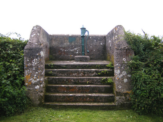 water pumpwater pump · 1386 yd
 Enclosure in BallycottonEnclosure · 1443 yd
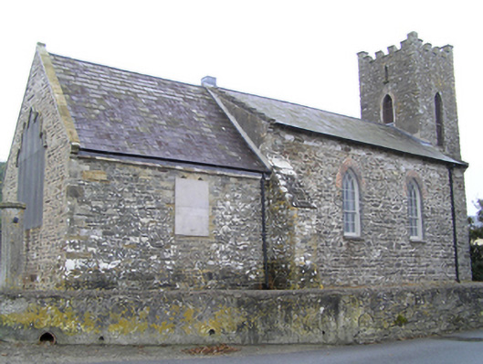 church/chapelchurch/chapel · 1611 yd
 Promontory fortPromontory fort, coastal · 1.0 mi
 Mary StandfordMemorial · 1.0 mi
 P.N.L.B. Mary StandfordWreck · 1.1 mi
 Ballycotton Island (Small)Islet · 1.5 mi
 Ballycotton IslandIslet · 2.0 mi
 Garryvoe BeachBeach / strand · 2.5 mi
 Ballycroneen BeachBeach / strand · 3.6 mi
 CastleCastle, tower house · 3.7 mi
 Garryvoe Castle (in Ruins)Castle, tower house · 3.8 mi