
What is recorded here
Situated on a rock outcrop pinnacle in mixed woodland about 10m from the S shore of Prison Island, which is in the central part of Lough Scur. This structure was reputedly built as a prison, probably by John Reynolds of Castle John (LE024-050---), which is c. 150m to the S across the lake, in 1612 when he was the…
Read the whole record
From the National Monuments Service (Archaeological Survey of Ireland) record LE024-048
Places near here
Photo credits
- Maker not stated on source page, ie.pinterest.com
- Maker not stated on source page, www.pinterest.com
- Grose, Francis, 1731?-1791; Ledwich, Edward, 1738-1823, continuator, Wikimedia Commons · Public domain
- Kenneth Allen, Wikimedia Commons
- Adie Jackson, Geograph · CC BY-SA 2.0
- National Inventory of Architectural Heritage
- Maker not stated on source page, www.findagrave.com
- Maker not stated on source page, www.tripadvisor.com.au
- John M, Geograph · CC BY-SA 2.0
 Otter IslandCrannog · 117 yd
Explorer Tom Otter Island in Gowly thinks tourists from Dublin are basically noisy pigeons who only come to take photos and then…
 CastleHouse, fortified house · 163 yd
Explorer Tom Castle in Gowly sits on a former island, proving even land can be left behind. John Reynolds built it to escape…
 Castle JohnCastle · 163 yd
Explorer Tom Castle John has a superstition that says if you don’t bow to it first, your shoelaces will untie themselves for a week.…
 Páirc Cill TiobraidGAA ground · 1005 yd
Explorer Tom Páirc Cill Tiobraid wears its club name proudly above the entrance, and the Leitrim ground has room for big local…
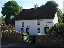 Fionn McCumhail CottageHouse · 1055 yd
Explorer Tom Fionn McCumhail Cottage in Keshcarrigan is still wearing its straw hat from the eighties. Imagine explaining low…
 Keshcarrigan Vocational SchoolCollege · 1184 yd
Explorer Tom Keshcarrigan Vocational School holds the unofficial world record for the longest silence ever recorded in a classroom.…
 Mapped graveyardGraveyard · 1357 yd
Explorer Tom Legend says this Mapped graveyard in County Leitrim started because two lads made a bet in the pub about where to bury…
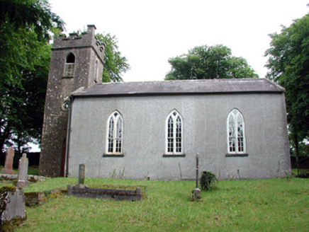 Saint Brigid's Church (Kiltubbrid)Church/chapel · 1361 yd
Explorer Tom Saint Brigid's Church is secretly proud of one specific potato that grew under its window in 1847. It overlooks Lough…
 Drumcong New CemeteryCemetery · 1607 yd
Explorer Tom Drumcong New Cemetery plans to retire by turning into a giant garden for bees, which sounds lovely until you consider…
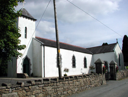 Saint Brigid's Catholic ChurchChurch/chapel · 1654 yd
Explorer Tom Saint Brigid's Catholic Church in Roscarban has a pyramidal roof that defies all local church logic. A priest once lost…
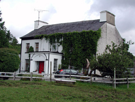 Annadale HouseCountry house · 1683 yd
Explorer Tom Annadale House in Kiltubbrid has made a New Year's resolution to stop its walled garden from looking so smug about all…
 Finn McCool's MonumentArchaeological place · 1.1 mi
Explorer Tom Finn McCool's Monument in County Leitrim has a fan club that mostly consists of confused tourists and one very loyal…
More archaeology and monuments in County Leitrim · All of County Leitrim

What do you know about this place?Tap to add a comment or ask a question