What is recorded here
A collection of flint and chert tools with waste have been recovered from a restricted area of plough soil on the summit of Donore Hill. These include end scrapers, side scrapers, round scrapers and thumbscrapers. This area lies immediately east of a semi-circular tree ring and overlooks the Boyne valley to the west (pers comm. Cliadhbh O'Gibne, Cormac O' Gibne, Oisin O'Gibne, Ruarchan O'Gibne).
Compiled by: Geraldine Stout
Date of upload: 15 January 2013
The monument record does not grant public access. Check the route and ask the landowner before entering private land.
- What survives
- Recorded monument
Places near here
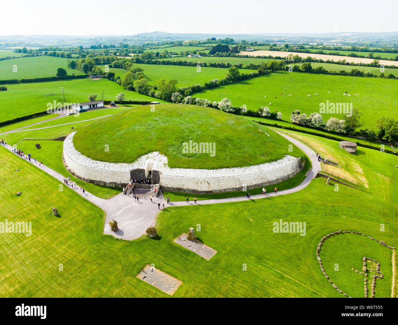 Enclosure in StalleenEnclosure · 308 yd
 Glenmore ForestWood · 583 yd
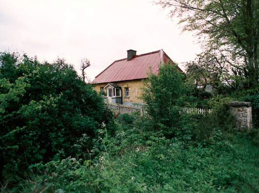 farm housefarm house · 675 yd
 Concentric enclosure in DowthConcentric enclosure · 773 yd
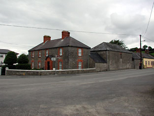 The Old Dispensaryhouse · 911 yd
 Brú na Bóinne Visitor Centre AccessHeritage attraction · 1642 yd
 Dowth CastleCastle, tower house · 1758 yd
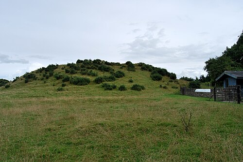 DowthNeolithic passage tomb · 1.1 mi
 Brú na Bóinne Visitors CentreVisitor information · 1.1 mi
 Proudfootstown CastleCastle, unclassified · 1.2 mi
 European YewEuropean Yew · 1.6 mi
 Battle of the BoyneMajor battlefield · 1.7 mi