What is recorded here
Flint scatter exposed on the surface of the ground as a result of rabbit quarrying around the base of the walls of a 19th century cottage ruins on the island of Inishtrahull.
The monument record does not grant public access. Check the route and ask the landowner before entering private land.
- What survives
- Recorded monument
Places near here
 Mass-rock in InishtrahullMass-rock · 107 yd
 Inishtrahull SchoolRuins · 132 yd
 InishtrahullIsland · 312 yd
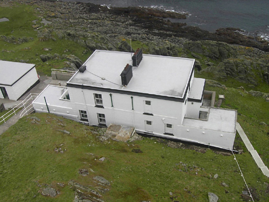 Inishtrahull Lighthouselighthouse keeper's house · 470 yd
 Doherty's Dun / Ballygorman Coastal FortPromontory fort, coastal · 5.1 mi
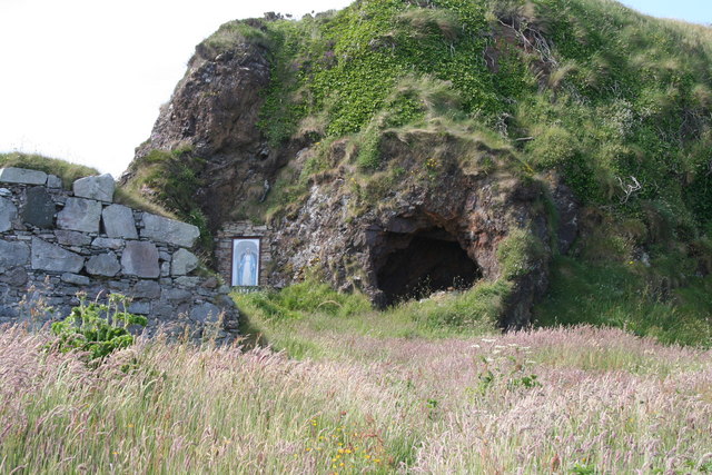 Wee House of Malin CaveCave · 5.5 mi
 Pebble StrandBeach / strand · 6.1 mi
 EIRE 80 signSecond World War neutrality sign · 6.3 mi
 Wild Atlantic Way:Malin HeadVisitor information · 6.4 mi
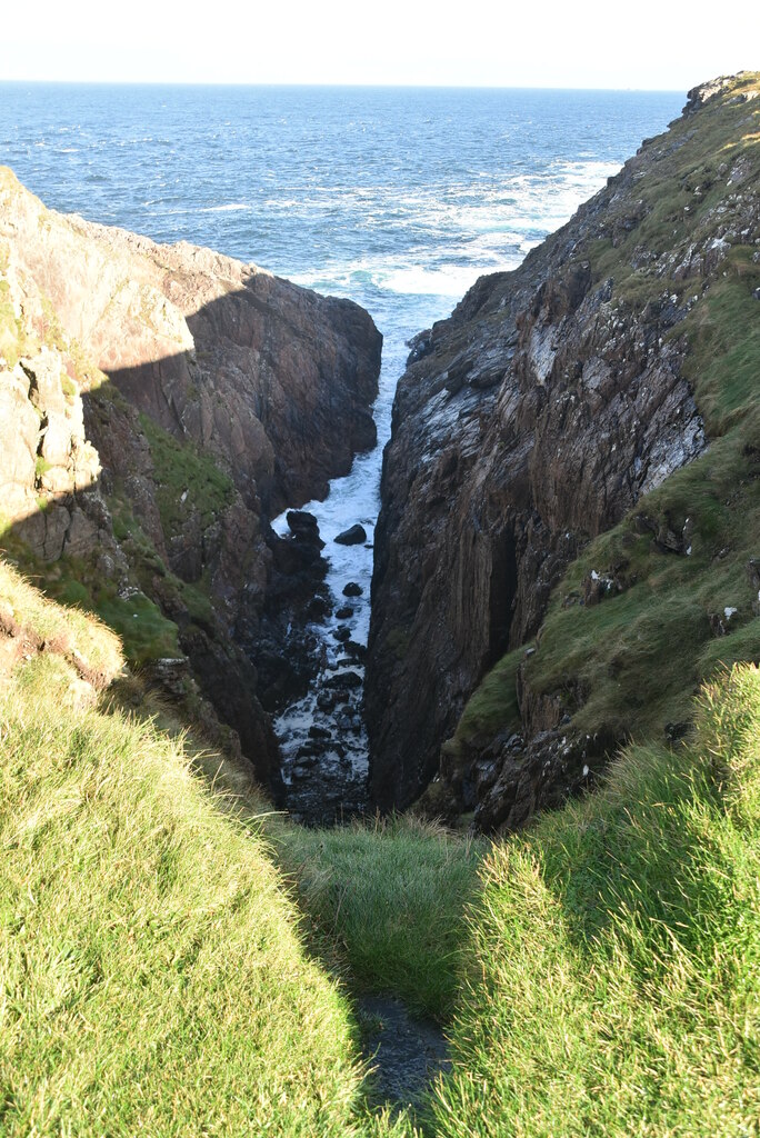 Hell's Hole Cavern, Malin HeadSea cavern and cliff chasm · 7.0 mi
 SkildrenbegIslet · 7.2 mi
 Devil's Bridge, Malin HeadNatural rock arch · 7.3 mi