
What is recorded here
On the N side of the island, behind the old school built in 1901, is a feature known as 'The Grave' (DG002A001001-). It consists of a series of upright slabs (height c. 0.75m) forming two sides of a square c. 4m x 4m. The third side is formed by the face of rock outcrop which the feature adjoins; the fourth side is open. Internally against the W slab-wall are two flat slabs horizontally laid. These flat slabs are known locally as the Mass Rock. A flat stone nearby has a depression resembling a bullaun (DG002A001002-) ehich is no longer visible at the site. The Mass-Rock has recently been taken from its location and its current whereabouts are unknown. According to local information the mass rock had a cross inscribed onto its surface. Inishtrahull island is about 6 miles NE of Malin Head and is the most northerly point of Ireland.
Compiled by: Caimin O'Brien
Date of upload/revision: : 08 September 2010
A local holy well or ritual site; wider significance not recorded.
The monument record does not grant public access. Check the route and ask the landowner before entering private land.
- What survives
- Recorded monument
Places near here
 Inishtrahull SchoolRuins · 26 yd
 InishtrahullIsland · 352 yd
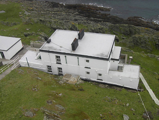 Inishtrahull Lighthouselighthouse keeper's house · 363 yd
 Doherty's Dun / Ballygorman Coastal FortPromontory fort, coastal · 5.0 mi
 Malin Well Eastern Coastal Promontory FortPromontory fort, coastal · 5.3 mi
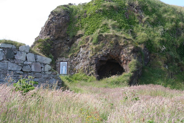 Wee House of Malin CaveCave · 5.5 mi
 Pebble StrandBeach / strand · 6.1 mi
 EIRE 80 signSecond World War neutrality sign · 6.3 mi
 Wild Atlantic Way:Malin HeadVisitor information · 6.4 mi
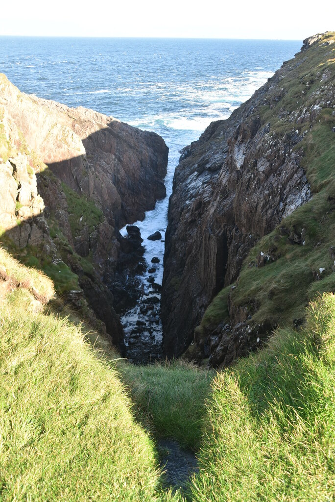 Hell's Hole Cavern, Malin HeadSea cavern and cliff chasm · 6.9 mi
 SkildrenbegIslet · 7.2 mi
 Devil's Bridge, Malin HeadNatural rock arch · 7.2 mi
Other information
Photo: Credit not shown in the picture search · Rights wording not checked; contact us if this picture should be removed