
What is recorded here
'Doherty's Dun on a narrow promontory overlooked by higher ground on the land side. It is defended by a stretch of earthen bank c. 26.5m long and 1.38m high interrupted E of the centre by a 3.8m gap. There is an external fosse up to 1.9m wide and 0.7m deep.
The above description was derived from the 'Archaeological Survey of County Donegal. A description of the field antiquities of the County from the Mesolithic Period to the 17th century.' Compiled by: Brian Lacey with Eamon Cody, Claire Cotter, Judy Cuppage, Noel Dunne, Vincent Hurley, Celie O'Rahilly, Paul Walsh and Seán Ó Nualláin (Lifford: Donegal County Council, 1983). In certain instances the entries have been revised and updated.
Date of upload: 22 September 2008
Doherty's Dun, also known as Ballygorman Coastal Fort, is a ringfort situated on a narrow coastal promontory, featuring an earthen bank with a central gap interpreted as an entrance. Likely dating to the early medieval period, it is associated with local folklore of fairy hauntings, common to many such sites in Ireland.
The monument record does not grant public access. Check the route and ask the landowner before entering private land.
- What survives
- Recorded monument
Places near here
 Malin Well Eastern Coastal Promontory FortPromontory fort, coastal · 1461 yd
 Malin WellHoly well · 1676 yd
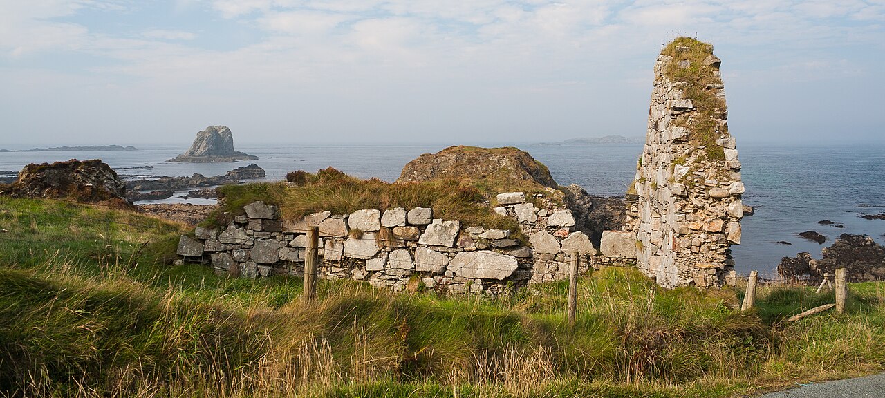 Malin Well Old ChurchChurch · 1.1 mi
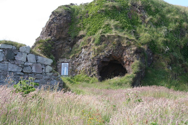 Wee House of Malin CaveCave · 1.1 mi
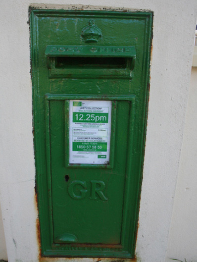 post boxpost box · 1.5 mi
 Pebble StrandBeach / strand · 3.0 mi
 Lag GraveyardGraveyard · 3.4 mi
 EIRE 80 signSecond World War neutrality sign · 3.4 mi
 Wild Atlantic Way:Malin HeadVisitor information · 3.4 mi
 Five Finger StrandBeach / strand · 3.7 mi
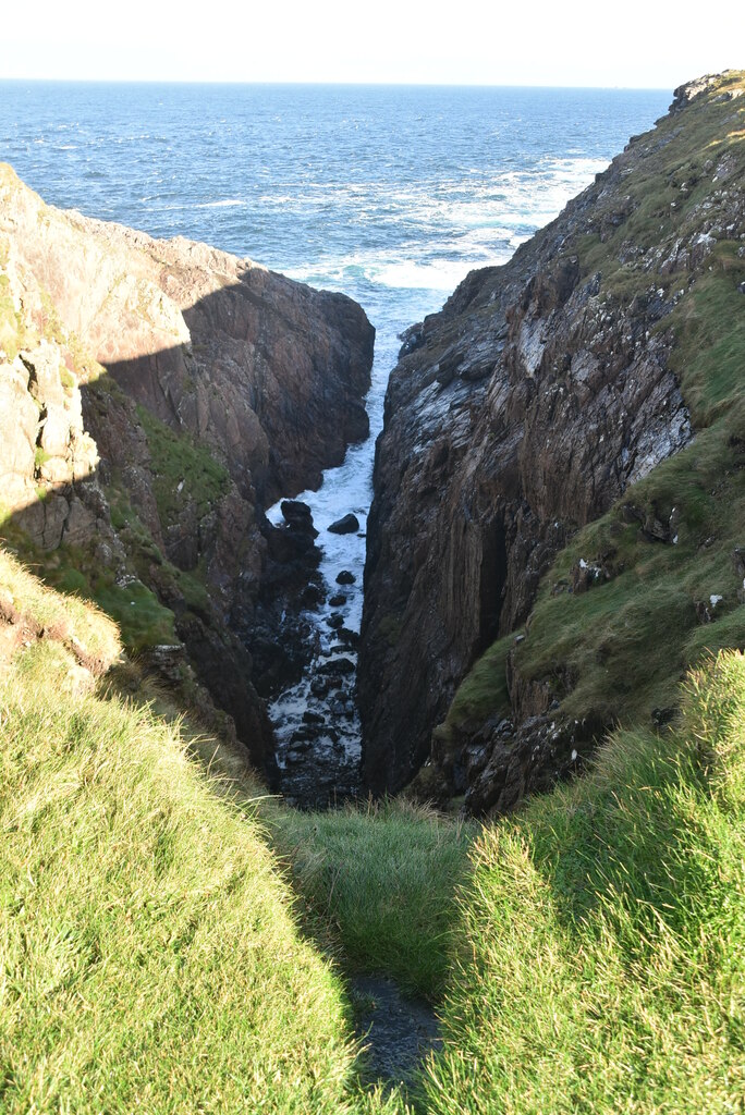 Hell's Hole Cavern, Malin HeadSea cavern and cliff chasm · 4.0 mi
 SkildrenbegIslet · 4.2 mi
Other information
Photo: Credit not shown in the picture search · Rights wording not checked; contact us if this picture should be removed