What is recorded here
Situated on the S shoreline of Lough Derravaragh. The Mesolithic shoreline of the lake was exposed after the Inny River was drained in the 1960s resulting in the lowering of the water level on Lough Derravaragh (Little 2014, 2). Described as Site 4 by Professor Frank Mitchell (Mitchell 1972, 170). The chert at Lake Derravaragh has an unusual banded structure and disintegrates easily on exposure to the weather. Site 4 was described by Mitchell as 'a knoll of higher ground, rising to 80m, composed of rock and glacial deposits. Along the foreshore there was a thin scatter of chert debitage' (Mitchell 1972, 170). Today there are no surface remains visible of this lithic scatter.
Compiled by: Frank Coyne & Caimin O'Brien
Date of upload: 2 February 2017
The monument record does not grant public access. Check the route and ask the landowner before entering private land.
- What survives
- Recorded monument
Places near here
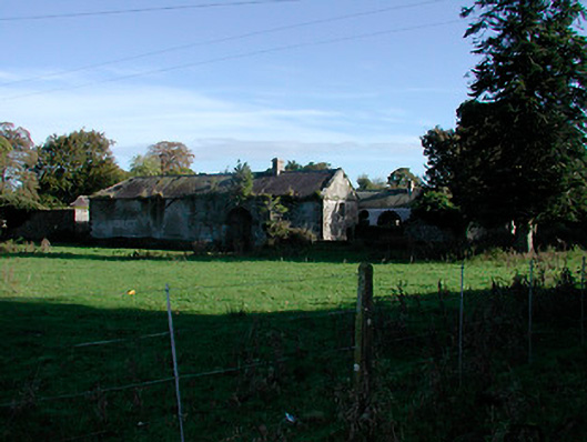 Donore Housefarmyard complex · 296 yd
 Donore Ho.House, 17th century · 326 yd
 CastlewattyCrannog · 1114 yd
 CastleCastle, tower house · 1539 yd
 Hut site in Ballynakill (corkaree By.)Hut site · 1.1 mi
 Bridge Memorial (Kenna)Memorial · 1.6 mi
 Mortimer's CastleArchaeological place · 1.7 mi
 European BeechEuropean Beech · 3.3 mi
 Pedunculate OakPedunculate Oak · 3.5 mi
 Seafin HillMountain / peak · 9.2 mi
 Zip WireHeritage attraction · 11 mi
 Mount FortuneMountain / peak · 12 mi