What is recorded here
Meadow Thistle and Company use the Tullybrick field as a living laboratory where ancient walls and modern measurement meet. They walk the stone lines at dawn, map the cairns, and test whether human imagination or natural force shaped each feature. The land answers through change, shadow, and the behaviour of living things.
The official Northern Ireland record identifies this as PRE-BOG LANDSCAPE of FIELD WALLS, FIELD CLEARANCE WALLS & CAIRNS, A CAIRN FIELD, A STONE STRUCTURE & possible MEGALITHIC TOMBS. Recorded period: PREHISTORIC; BRONZE AGE. Recorded protection: Scheduled. The official map point was placed at the centre of the recorded archaeological site from the source map reference.
Prehistoric cairn field and possible megalithic tombs, dating to the Bronze Age. The site represents an ancient landscape of field systems and funerary monuments, reflecting early agricultural and ritual practices in the region.
The monument record does not grant public access. Check the route and ask the landowner before entering private land.
- What survives
- Recorded monument
Places near here
 Davagh ForestForest · 1.8 mi
 Lough FeaWalking route · 2.6 mi
 OughtmoreMountain / peak · 2.8 mi
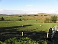 Enclosure in BroughdergEnclosure · 2.9 mi
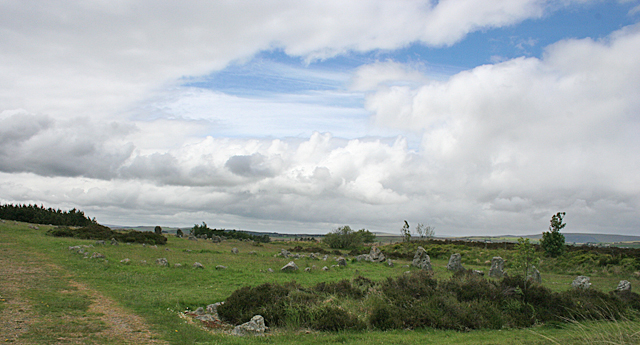 BeaghmoreArchaeological place · 3.3 mi
 Beaghmore Stone Circle CArchaeological place · 3.3 mi
 Beaghmore Stone CirclesVisitor information · 3.3 mi
 CarnanellyMountain / peak · 3.7 mi
 Goles ForestNature reserve · 4.0 mi
 St Columba's ChurchChurch · 4.4 mi
 Evishessan BridgeBridge · 4.7 mi
 Craig-na-ShokeCliff · 7.7 mi