What is recorded here
Located on a shelf towards the bottom of a N-facing slope and Immediately NE of the motte and bailey (MO029-033001-). It is depicted as a rectangular enclosure divided in two by an E-W cross-wall and described as a 'Pound' in italic letters on the 1834 edition of the OS 6-inch map. This is a rectangular enclosure (dims c. 20m N-S; c. 20m E-W) with high stone walls that had a wide round-headed entrance through a large arch in the W wall. Only the lower courses of the N and E walls survive now.
Date of upload: 14 April 2011
The monument record does not grant public access. Check the route and ask the landowner before entering private land.
- What survives
- Recorded monument
Places near here
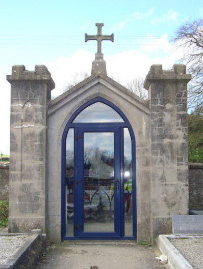 shrine/oratory/grottoshrine/oratory/grotto · 64 yd
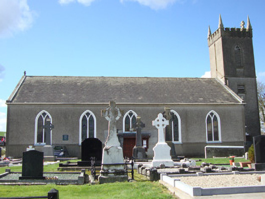 Patrick Kavanagh Centrechurch/chapel · 71 yd
 IndicatedCastle, motte and bailey · 71 yd
 Man-made underground passage in CandlefortMan-made underground passage · 82 yd
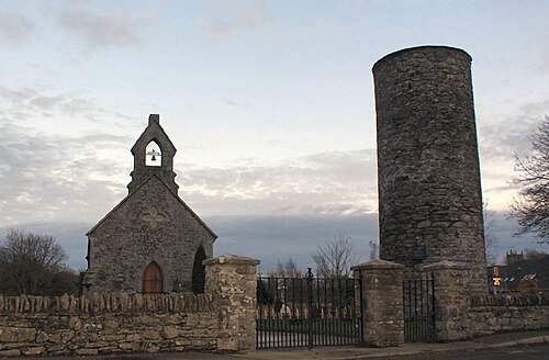 Round TowerRound tower · 207 yd
 CastleCastle, motte and bailey · 2.6 mi
:no_upscale()/cdn.vox-cdn.com/uploads/chorus_asset/file/25593391/County_Louth_6th.jpg) LouthMountain / peak · 4.2 mi
LouthMountain / peak · 4.2 mi Ballsmill Amenity LandPicnic place · 5.4 mi
 Sky HillMountain / peak · 5.5 mi
 Photo GalleryHeritage attraction · 6.7 mi
 Dundalk CentralHeritage attraction · 6.7 mi
 Irish Hunger StrikersMemorial · 6.9 mi