What is recorded here
Half the eastern bank has vanished into the Camoge, leaving a broken circular platform where the river now drinks the fort instead of the fort holding the land. What remains is a low earthen ring, forty-two metres across, with no visible entrance and no warning about what it guarded. The water did not break the fort in a single night. It took the fort one handfull of soil at a time, proving that even ancient walls must share themselves with the current.
Described by O'Kelly (1944, 23) as following; 'A circular platform surrounded by a fosse with an overall diameter of 140' [42m]. This is situated on the edge of the bank of the Camoge river which has eaten away almost half of the E. side of the platform. The height of the latter is 4' [1.2m]. The entrance is not recognisable. It is called Pollnaneach on the O.S. map'.
Compiled by: Caimin O'Brien
Date of upload: 09 August 2019
The monument record does not grant public access. Check the route and ask the landowner before entering private land.
- What survives
- Recorded monument
Places near here
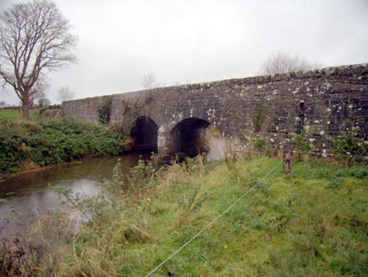 bridgebridge · 351 yd
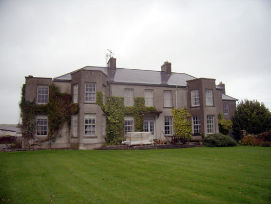 Knockainy Studcountry house · 370 yd
 Desmond Castle (in ruins)Castle, unclassified · 488 yd
 Knockainy Castle (in ruins)Castle, tower house · 584 yd
 Flat cemetery in Knockainy WestFlat cemetery · 824 yd
 Grave YardBurial ground · 873 yd
 KnockainyMountain / peak · 1421 yd
 Doonainy, HachuredMound · 1425 yd
 Glen BogForest · 2.3 mi
 St Patrick's WellSpring · 3.8 mi
 Kilteely HillMountain / peak · 4.4 mi
 Edmund's WellSpring · 4.7 mi