Places near here
Photo credits
- P.hammer, Wikimedia Commons · CC BY-SA 3.0
- National Inventory of Architectural Heritage
- Andy Waddington, Wikimedia Commons · CC BY-SA 2.0
- The original uploader was Rwxrwxrwx at English Wikipedia ., Wikimedia Commons · CC BY-SA 3.0
- The Banner, Wikimedia Commons · CC BY-SA 3.0
- No machine-readable author provided. Bogman assumed (based on copyright claims)., Wikimedia Commons · CC BY-SA 2.5
Explorer Tom Enclosure in Pouliskaboy is barely visible, just a low scarp that might be a wall or a dream. The village probably had a feud over who broke it first. Make a wish, it's had centuries of practice.
Doolin Cave Visitor CentreHeritage attraction · 906 ydExplorer Tom Doolin Cave Visitor Centre is a gateway to history, where the caves' secrets are revealed through guided tours in County Clare.
 Doolin CaveCave · 929 yd
Explorer Tom Doolin Cave stands proud in County Clare, and I can practically hear the sea echoing off its stone walls.
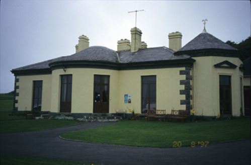 Ballinalacken CastleHouse · 1008 yd
Explorer Tom Ballinalacken Castle in Ballynalackan is playing dress-up, swapping castle vibes for hotel chic with its new wing. It looks like it’s trying too hard to impress the tourists. Tell the kids it's a castle. Close enough.
IndicatedBawn · 1119 ydExplorer Tom The Bawn in Ballynalackan surrounds the castle like a protective hug from the 17th century. Stand on the spot and imagine the gossip it's heard about the MacClanchys and their endless beef with everyone.
The BurrenHeritage attraction · 1.0 miExplorer Tom The Burren is a unique landscape in County Clare, where stone deserts and ancient secrets await those brave enough to explore.
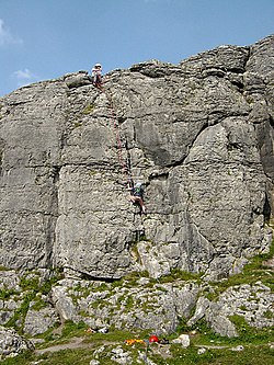 BallyryanCliff · 1.3 mi
Explorer Tom Ballyryan is a lovely limestone cliff in County Clare, just right for quick, sunny climbs with friends on a nice day.
St. Catherine's OneCave · 1.4 miExplorer Tom St. Catherine's One is recorded in Clare, maybe linked to old colleges, but the map doesn't guarantee entry rights.
 AilladieCliff · 1.6 mi
Explorer Tom Ailladie stands tall as a cliff in County Clare, perfect for spotting climbers scaling its impressive middle sectors today.
 Catholic Church of the Holy RosaryChurch/chapel · 1.6 mi
Explorer Tom In Ballyvoe, the Holy Rosary church from 1820 wears a trefoil opening above its door. Its paired lancet windows suggest a history of community gathering and prayer.
CastleCastle, unclassified · 1.7 miExplorer Tom Castle in Ballyvoe is another one that's been destroyed, so it's just a memory with a postcode. Stand there long enough and someone will ask if you're lost, which is exactly where you are.
 Court tomb in TeergoneanCourt tomb · 2.0 mi
Explorer Tom Court tomb in Teergonean has two chambers and zero chill, sitting in that limestone hollow like it’s judging your hiking boots. It looks like a fancy stone house for ghosts who like privacy. Get a photo with it before it gets a better agent.
More caves in County Clare · All of County Clare

What do you know about this place?Tap to add a comment or ask a question