What is recorded here
Shown only on 1842 OS 6-inch map as dotted circular area (diam. c. 30m) straddling three townlands and at an angle where the baronies of Barrymore and Fermoy adjoin. Inaccessible due to swampy conditions.
The above description is derived from the published 'Archaeological Inventory of County Cork. Volume 4: North Cork' (Dublin: Stationery Office, 2000). In certain instances the entries have been revised and updated in the light of recent research.
Date of upload/revision: 14 January 2009
The monument record does not grant public access. Check the route and ask the landowner before entering private land.
- What survives
- Recorded monument
Places near here
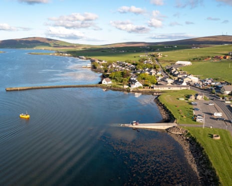 Fulacht fia in Coom (hudson)Fulacht fia · 1.1 mi
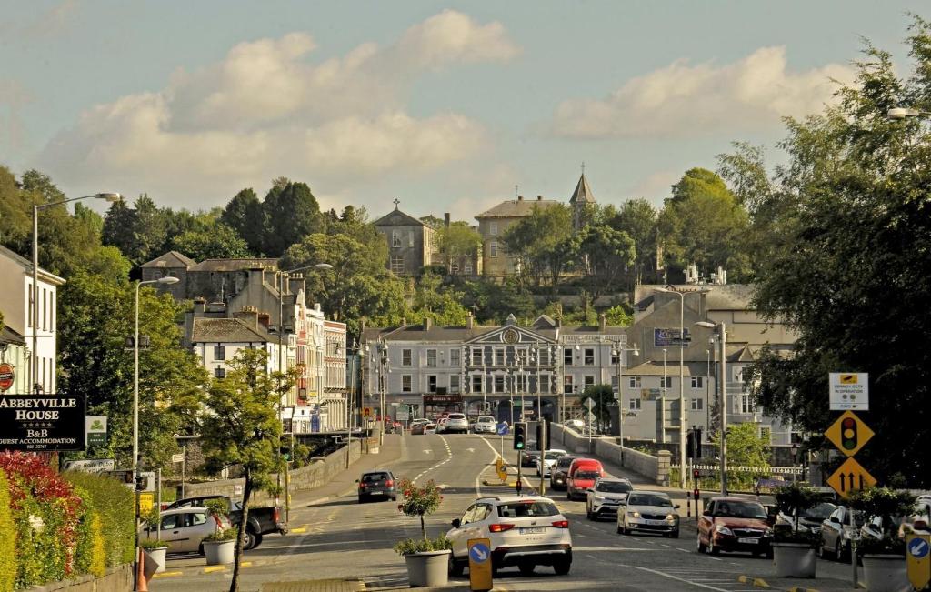 Folacht FiadhFulacht fia · 1.2 mi
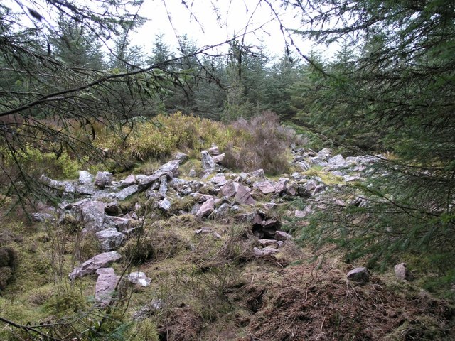 CorranMountain / peak · 2.1 mi
 SeefinMountain / peak · 2.5 mi
 St John's WellSpring · 2.6 mi
 Coom Bridgebridge · 3.1 mi
 Cilll BhrannaChurch · 3.9 mi
 Killavuleen LOOPVisitor information · 4.0 mi
 CastleCastle, tower house · 4.0 mi
 Cave in BallymacmoyCave · 4.3 mi
 Killavullen CavesCave · 4.3 mi
 Monanimy CastleCastle, tower house · 4.5 mi