What is recorded here
Remains of mid/late 19th century pottery works on S bank of Tourig river on site of 'Ordnance Ground' and to N of 'Old Brick Field' indicated on 1842 OS 6-inch map (CO067-012---). Remains of 3-storey gable-ended structure (int. 9.25m E-W; 6m N-S). Front (S) of 3 bays; 2-storey, 4-bay addition to E; brick-built additions on S and W sides. Two-storey, 3-bay roofless brick-built structure to N; according to Breslin (1991, 100) lower floor used as canteen for workers and upper floor divided into two residential quarters.
The above description is derived from the published 'Archaeological Inventory of County Cork. Volume 2: East and South Cork' (Dublin: Stationery Office, 1994). In certain instances the entries have been revised and updated in the light of recent research.
Date of upload/revision: 14 January 2009
The monument record does not grant public access. Check the route and ask the landowner before entering private land.
- What survives
- Recorded monument
Places near here
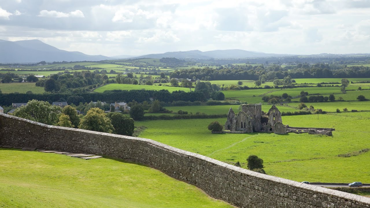 Burnt mound in Killea (coshmore and Coshbride By.)Burnt mound · 1218 yd
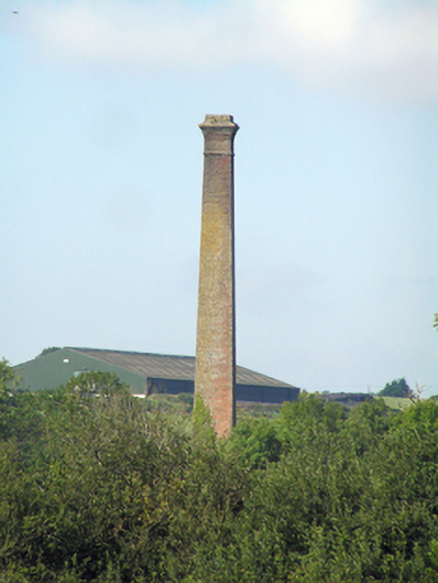 Youghal Brick Worksbrick fields · 1431 yd
 Muckridge Housecountry house · 1486 yd
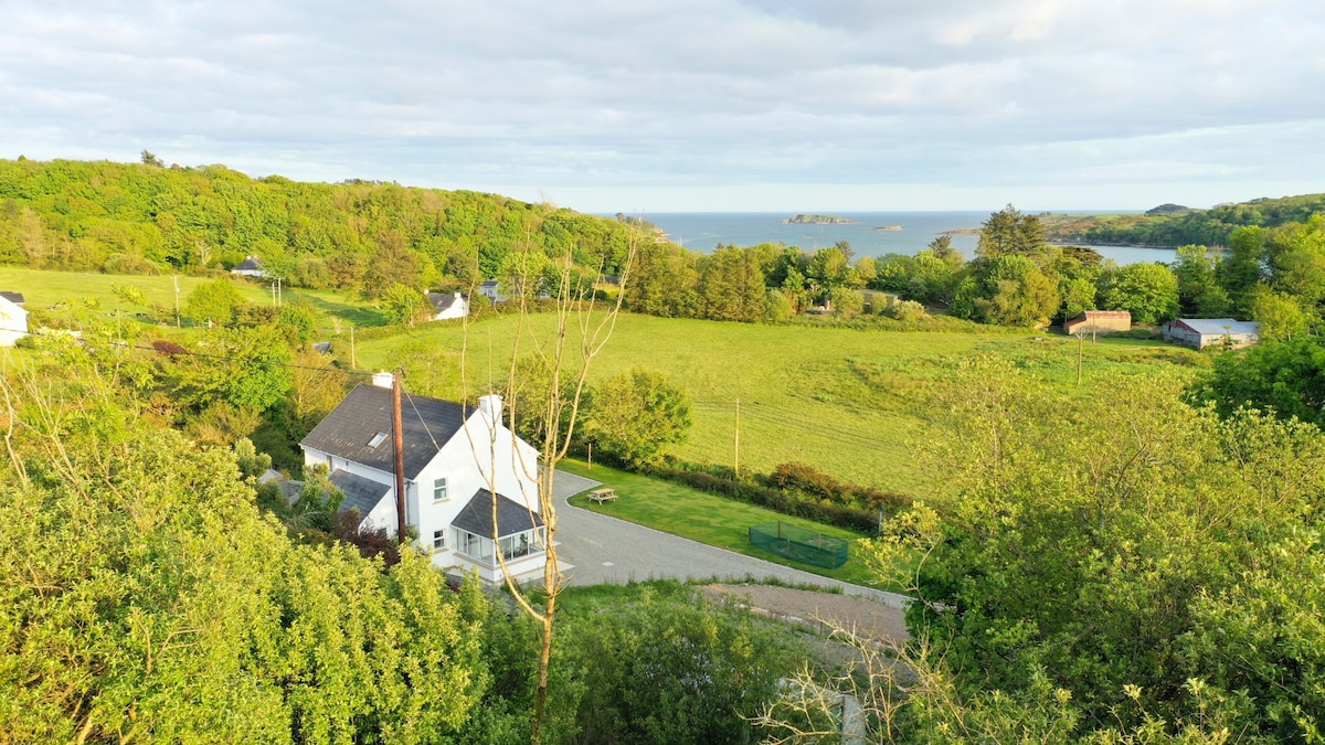 Enclosure in Ballynacarriga (imokilly By., Youghal Par.)Enclosure · 1571 yd
 Kilnatoora CastleCastle, tower house · 1734 yd
 Ringcrew WoodForest · 1.1 mi
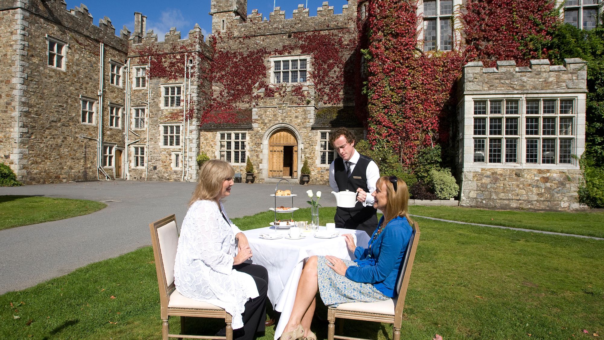 Castle Miles (in ruins)Castle, unclassified · 1.1 mi
 St Bridget's WellSpring · 1.5 mi
 Youghal Foxhole Loop walkWalking route · 1.6 mi
 Molana AbbeyHeritage attraction · 1.6 mi
 European ashEuropean ash · 1.7 mi
 Collegiate Church of Saint MaryHeritage attraction · 2.1 mi