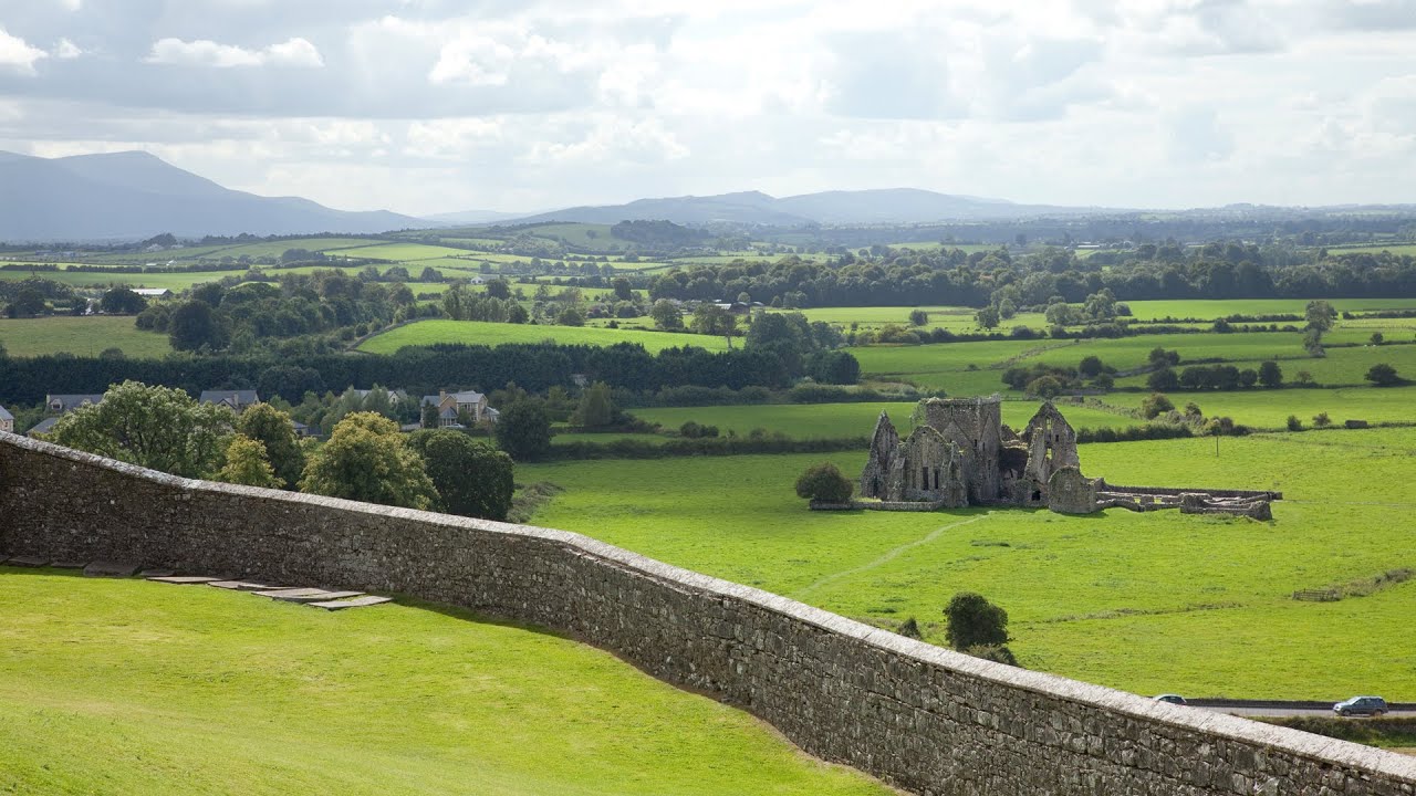
What is recorded here
Situated on the floodplain of the W-E Tourig River, c. 120m N of the stream. An area of burnt and broken stone (dims. 14m x 9m; H 0.3m) is visible when ploughed.
The above description is derived from the published 'Archaeological Inventory of County Waterford' (Dublin: Stationery Office, 1999). In certain instances the entries have been revised and updated in the light of recent research.
Revised by: Michael Moore
Date of upload: 07 October 2011
Burnt mound in Killea is a prehistoric ritual or industrial site, likely dating to the Neolithic or Bronze Age. Its significance lies in providing evidence of early human activity, possibly related to heat-related processes or ceremonial practices.
The monument record does not grant public access. Check the route and ask the landowner before entering private land.
- What survives
- Recorded monument
Places near here
 Tuck MillMill, fulling · 504 yd
 Kilnatoora CastleCastle, tower house · 621 yd
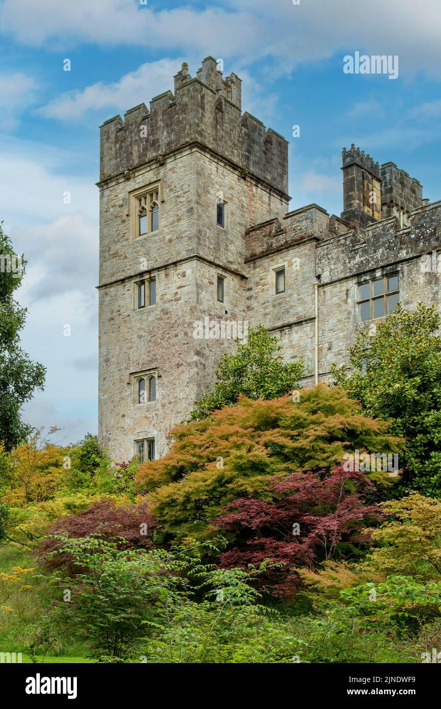 Embanked enclosureFairy fort / earthen ringfort · 750 yd
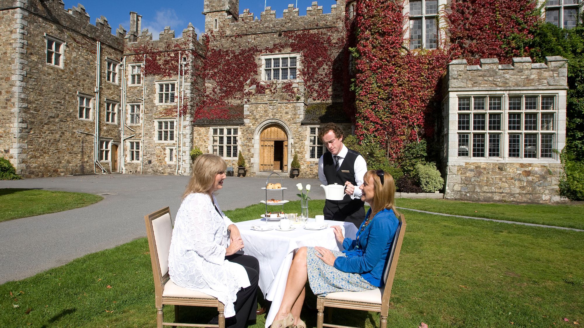 Castle Miles (in ruins)Castle, unclassified · 1162 yd
 IndicatedMill, corn · 1367 yd
 Fulacht fia in Cornaveigh (imokilly By., Ardagh Par.)Fulacht fia · 1512 yd
 Ringcrew WoodForest · 1.7 mi
 European ashEuropean ash · 1.8 mi
 Molana AbbeyHeritage attraction · 1.8 mi
 St Bridget's WellSpring · 2.1 mi
 Youghal Foxhole Loop walkWalking route · 2.2 mi
 Collegiate Church of Saint MaryHeritage attraction · 2.7 mi
Other information
Photo: Credit not shown in the picture search · Rights wording not checked; contact us if this picture should be removed