What is recorded here
Four chisel-pointed birch stakes once stood in a neat east-west line across the Derrylough bog, but the row disappeared before anyone could mark its exact spot. The peatland keeps such wooden marks for centuries, yet human activity erased this particular alignment before it could be studied. What remains is a ghost of geometry, a straight purposeful gesture swallowed back into the dark soil.
This monument consisted of the remains of a row (L 4m; D 0.145m) of four birch stakes (diam. 0.025-0.03m) orientated ESE-WNW. All the pieces had chisel points. The row was destroyed before the survey could be completed and its precise location could not be plotted.
Compiled by: Mary Tunney based on data supplied by the former Irish Archaeological Wetland Unit, University College, Dublin.
Date of upload: 26 August 2011
This remains an important historical record, but the official description says the monument is no longer visible or has been destroyed. The monument record does not grant public access. Check the route and ask the landowner before entering private land.
- What survives
- No visible remains or recorded as destroyed
Places near here
 StructureStructure, peatland · 461 yd
 RoadRoad, class 3 togher · 682 yd
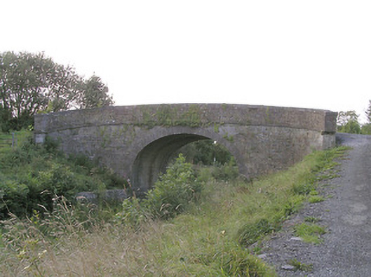 Knockanboy Bridgebridge · 1345 yd
 Enclosure in SharvogeEnclosure · 1.3 mi
 Graveyard in Curry (ardagh By., Coolamber Ed)Graveyard · 1.4 mi
 CastleCastle, tower house · 1.6 mi
 First World War MemorialMemorial · 2.3 mi
 Bawn in AbbeycartronBawn · 2.4 mi
 Saint Mel's CathedralCathedral · 2.4 mi
 Commons North WalkVisitor information · 6.6 mi
 Wild birdsVisitor information · 6.7 mi
 White Sand WoodWood · 7.0 mi