What is recorded here
The site (L 2.91m min.; Wth 2.03m; D 0.53m) is orientated SE-NW and composed of a row of fifty-two posts (L 0.10-0.53m; diam.0.068-0.113m) and stakes (diam.0.026-0.055m) with haphazardly spread horizontals elements along the N side of the alignment. The uprights are predominantly hazel with a single oak example and are irregularly spaced (0.03-0.032m) at angles of 30-90°. The horizontal wood is predominantly birch, hazel and oak brushwood in poor condition with a single piece of outer tangential split oak. The uprights are well preserved and the ends cut to wedge and chisel points with distinctive concave facets (Wth 0.055; D 0.0045). One post displayed two different sets of tool signatures indicating the use of more than one tool. This site may be associated with either SMR OF006-079002- or its neighbour SMR OF006-079003- both within a 20m distance of it.
Compiled by: Irish Archaeological Wetland Unit (University College Dublin).
Date of upload: 23 May 2011
The monument record does not grant public access. Check the route and ask the landowner before entering private land.
- What survives
- Recorded monument
Places near here
 RoadRoad, class 3 togher · 20 yd
 StructureStructure, peatland · 261 yd
 Enclosure in Ballyduff (garrycastle By.)Enclosure · 1703 yd
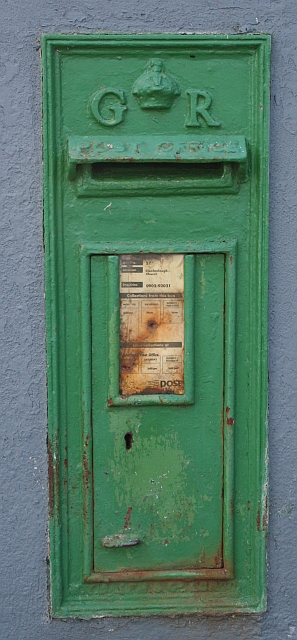 post boxpost box · 1.8 mi
 Endrim HillMountain / peak · 2.1 mi
 Clonlyon CastleCastle, tower house · 2.3 mi
 Bawn in Lackagh MoreBawn · 3.1 mi
 European ashEuropean ash · 3.2 mi
 Ballylin Bog BoardwalkHeritage attraction · 3.7 mi
 ClonmacnoiseMuseum · 3.9 mi
 Graveyard in ClonmacnoiseGraveyard · 3.9 mi
 Long IslandIsland · 4.0 mi