What is recorded here
Located at the NW end of a natural knoll known as 'Dun Hill' which has been enclosed in antiquity (DU019-004002-). This is a circular denuded cairn (diam 14m; H 1.5m) which incorporates a cist-like structure (L 0.8m; W 0.89m; D 0.5m). The latter is indicated as 'post office signal post' on the 1843 edition of the OS 6-inch map and may not be original (Westropp 1922, 58-9). This cairn was apparently built on top of a low earthen mound thought to be a barrow (DU019-004003-).
The headland was subject to gorse fire over the summer of 2013 revealing field walls to the southwest. The cist itself and the summit remained unburned.
Compiled by: Geraldine Stout
Updated by: Christine Baker
Date of upload: 29 January 2015
A circular denuded cairn with a cist-like structure, likely dating to the Neolithic or Early Bronze Age; its location on a historically enclosed knoll suggests ritual or funerary significance.
The monument record does not grant public access. Check the route and ask the landowner before entering private land.
- What survives
- Recorded monument
Places near here
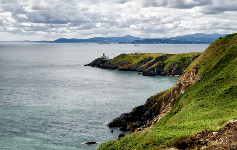 Dung HillHilltop enclosure · 1 yd
 Howth Cliff WalkWalking route · 293 yd
 Wild Rhododendron GardensWood · 509 yd
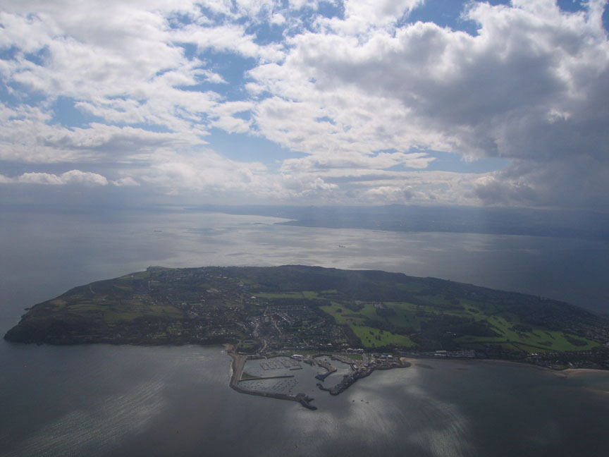 Howth HeadCoastal headland · 558 yd
 Shielmartin HillMountain / peak · 568 yd
 Ben of HowthMountain / peak · 585 yd
 Howth Bog of the Frogs LoopWalking route · 597 yd
 Portal tomb in Howth DemesnePortal tomb · 642 yd
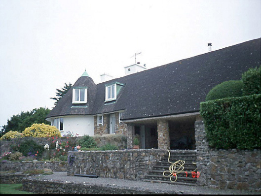 Sutton Southhouse · 901 yd
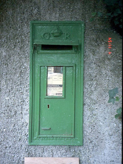 post boxpost box · 917 yd
 Red RockViewpoint · 1311 yd
 Slí Fhine Gall - Binn Éadair - An MullachVisitor information · 1367 yd