What is recorded here
Dunseverick still hides a man-made passage beside a possible rath, though no date or owner survives to name the hands that dug it. The stone mouth may have swallowed carts, prayers or runaway people, while the round earthwork above watched the coast and waited for return. What is certain is that someone shaped the land instead of accepting it, building a chamber deep enough to disappear inside and a ridge high enough to be remembered.
The official Northern Ireland record identifies this as Possible RATH & Man-made underground passage. Recorded period: UNCERTAIN; E.CHRIST.. The official map point was placed at the centre of the recorded archaeological site from the source map reference.
The monument record does not grant public access. Check the route and ask the landowner before entering private land.
- What survives
- Recorded monument
Places near here
 ENCLOSURE in Feigh Alias DunseverickENCLOSURE · 420 yd
 A.P. SITE: ENCLOSURES & FIELD BOUNDARIES? in Feigh MountainA.P. SITE: ENCLOSURES & FIELD BOUNDARIES? · 708 yd
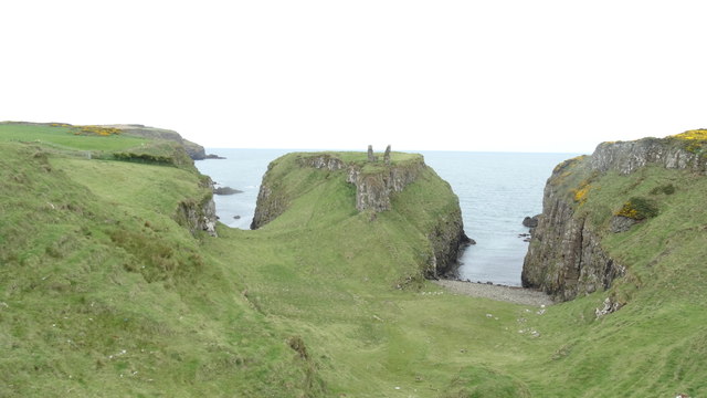 DUNSEVERICK CASTLE in Feigh Alias DunseverickDUNSEVERICK CASTLE · 845 yd
 Dunseverick CastleCastle · 853 yd
 DunsevrickCliff · 1287 yd
 Dunseverick FallsWaterfall · 1432 yd
 Dunseverick Parish ChurchChurch · 1620 yd
 MILITARY ENTRENCHMENTS: THE CASTLES in LisserlussMILITARY ENTRENCHMENTS: THE CASTLES · 1.3 mi
 Red Trail, Giant's CausewayWalking route · 2.0 mi
 Giant's GateHeritage attraction · 2.0 mi
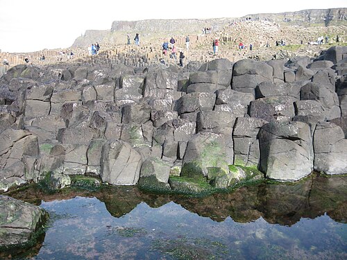 Giant's CausewayHeritage attraction · 2.0 mi
 Blue Trail, Giant's CausewayWalking route · 2.0 mi