What is recorded here
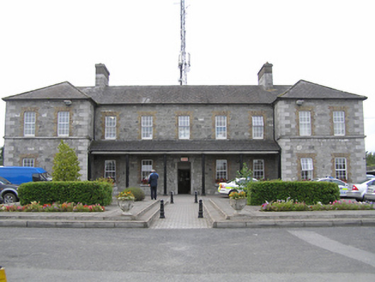
Detached nine-bay two-storey limestone former military barracks, built c. 1808, now in use as Garda station. Composed of five bays, flanked by two-bay advanced projections with lean-to porch between. Hipped slate roof, black clay ridge tiles with a pair of large limestone and brick chimneystacks. Cast-iron rainwater goods to limestone eaves course. Rough-hewn limestone walling with tooled limestone ashlar quoins and plinth course and continuous sill course, cement strap-pointing. Square-headed window openings formed in yellow brick with limestone sills and uPVC windows. Central square-headed door opening with limestone ashlar block-and-start surround. Replacement hardwood vertically-sheeted door and granite threshold stone. Six cast-iron Doric columns on shallow painted stone bases supporting lean-to canopy with upvc gutter and tongue-and-groove timber soffit. Hardscaped and tarmacadam to all four sides enclosed by tall coursed rough-hewn limestone wall with cement coping and arched entrance to east (sec Reg. Nos. 12506348, 12506349, 12506163). Yellowbrick two-storey extension attached to rear c.1980.
A fine stone building, embellished with decorative brick details, was built to replace a cavalry barracks situated within the old fort. Despite having lost its original windows the building retains its fine façade composition and all other original external features including its walled and arched entrance. This building complex, with all of its associated ancillary structures and grounds, forms a significant set-piece and greatly enriches the historic and architectural landscape of Portlaoise.
This does not grant access. Most recorded buildings are privately owned; view them only from public ground unless the owner allows entry.
Places near here
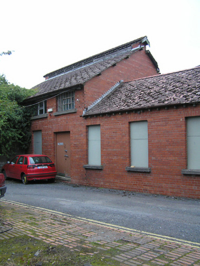 Portlaoise Garda Síochána Stationsports hall/centre/gymnasium · 46 yd
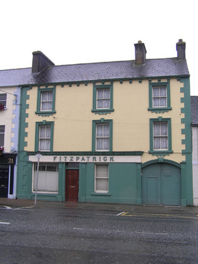 Fitzpatrickhouse · 242 yd
 Portlaoise CourthouseMemorial · 375 yd
 Old Barrack, Mill LandCastle, unclassified · 547 yd
 ConventCastle, tower house · 645 yd
 Town defences in MaryboroughTown defences · 690 yd
 Ridge Grave YardGraveyard · 820 yd
 Burial Ridge of MaryboroughMemorial · 822 yd
 Rock of CashelMountain / peak · 3.6 mi
 Rock of DunamaseCastle · 3.8 mi
 Rock of Dunamase InformationVisitor information · 3.9 mi
 SycamoreSycamore · 5.1 mi
Other information
Photo: National Inventory of Architectural Heritage · Website use allowed for educational or private purposes with source credit