What is recorded here
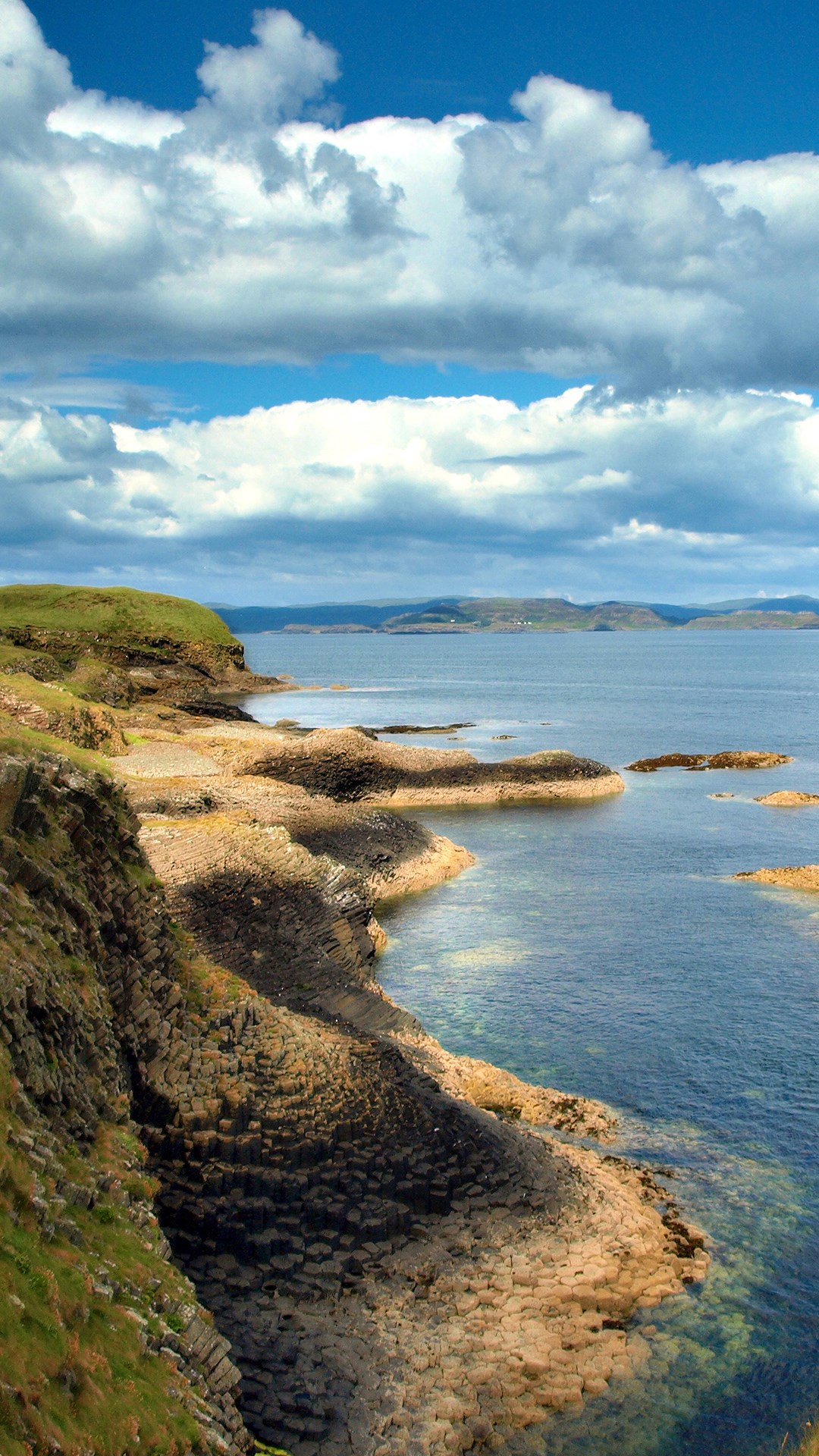
Map note: There is a map point for Port a' Mhine, a bay near Na Cùiltean, Argyll and Bute, Scotland. Follow the map with your eyes before trusting any tale of the sea.
From OpenStreetMap (© OpenStreetMap contributors) n11084270650
Places near here
Photo credits
- Maker not stated on source page, www.mirror.co.uk
- Gordon Hatton, Wikimedia Commons · CC BY-SA 2.0
- Maker not stated on source page, windows10spotlight.com
- Maker not stated on source page, fi.pinterest.com
- Richard Webb, Wikimedia Commons · CC BY-SA 2.0
- Rob Farrow, Wikimedia Commons · CC BY-SA 2.0
- Maker not stated on source page, jp.pinterest.com
- Rude Health, Wikimedia Commons · CC BY-SA 2.0
- Alan Reid, Wikimedia Commons · CC BY-SA 2.0
 Doirlinn a' Phuirt MhòirBeach / strand · 221 yd
 West Hynish House and OutshotHouse · 311 yd
 Eilean na TrionaideIslet · 318 yd
 Ceann na Bodha FhadaIslet · 359 yd
 Ben HynishMountain / peak · 856 yd
 Tiree, Dunan NigheanAnnexe Enclosure (possible), Dun (prehistoric), Hut (possible), Midden (iron Age), Structure(s) (possible) · 995 yd
 Tiree, BalephuilNo Class (event) (21st Century) · 1011 yd
 Port Bàn nam MaighdeagBeach / strand · 1047 yd
 Càrnan MòrMountain / peak · 1231 yd
 Tiree, Hynish Farm, SteadingFarmstead (post Medieval) · 1.5 mi
 Tiree, Soroby, Maclean's CrossCross Slab (early Medieval) · 2.1 mi
 SandaigVisitor information · 2.4 mi
More cliffs, bays and coast in Argyll and Bute · All of Argyll and Bute

What do you know about this place?Tap to add a comment or ask a question