
What is recorded here
From the Northern Ireland Sites and Monuments Record record TYR046:018
Places near here
Photo credits
- Maker not stated on source page, www.exploringgb.co.uk
- Maker not stated on source page, www.alamy.com
- We Are Tyrone; individual photographer not named on the article, wearetyrone.com
- Kenneth Allen, Geograph · CC BY-SA 2.0
- Linda Bailey, Wikimedia Commons · CC BY-SA 2.0
- Rock St Patrick’s GFC official club website; individual photographer not stated, www.rockstpatricksgac.co.uk
- Stefan C. Kremer, Wikimedia Commons · CC BY-SA 3.0
- Maker not stated on source page, commons.wikimedia.org
- Maker not stated on source page, www.pinterest.com
- Maker not stated on source page, uk.pinterest.com
- Maker not stated on source page, www.dreamstime.com
 Standing stone: clogh corr in LisnagleerStanding Stone: Clogh Corr · 1201 yd
Explorer Tom Standing stone: clogh corr in Lisnagleer is hiding a treasure that is definitely just an old biscuit tin left behind by…
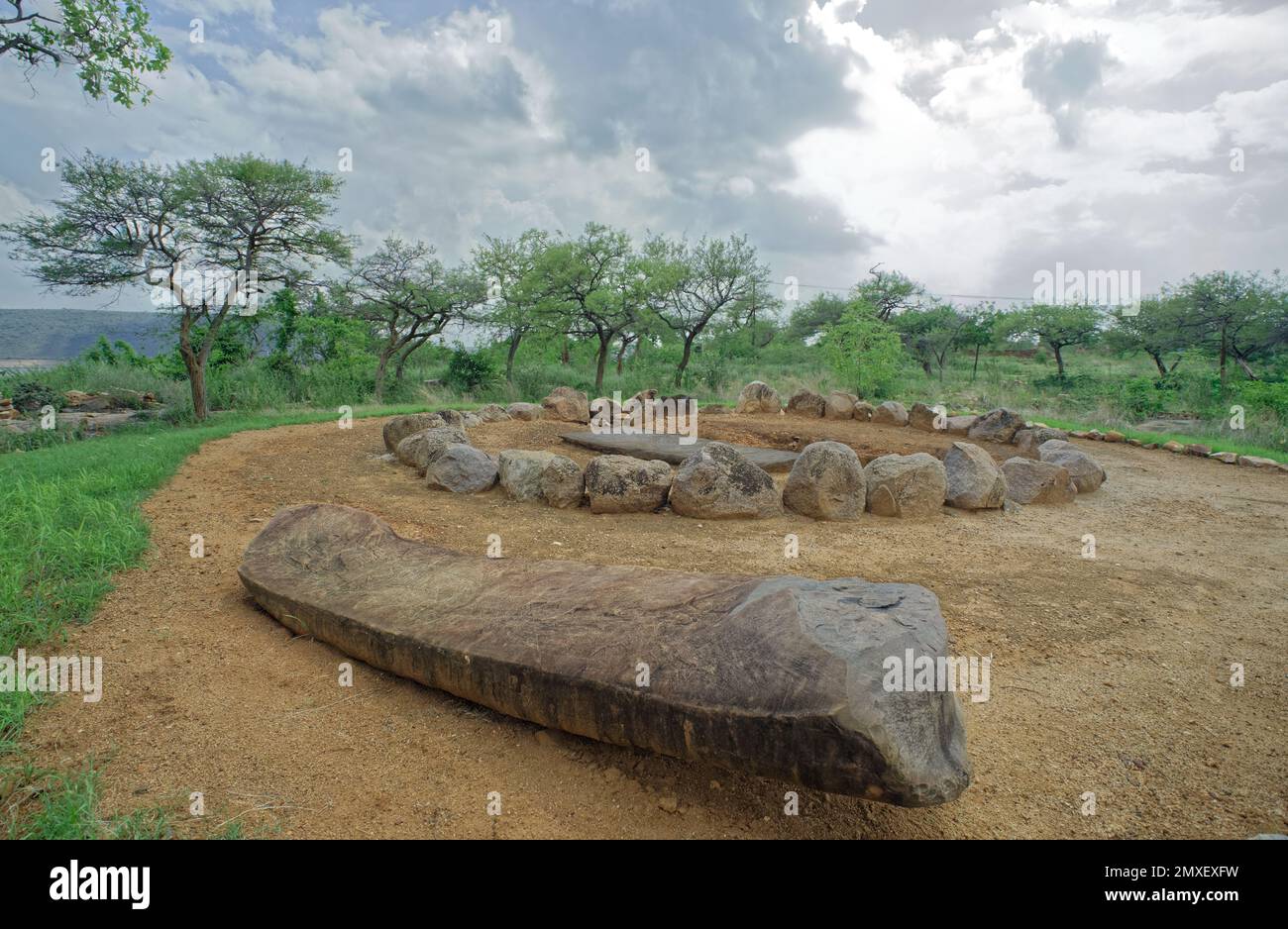 Cist burial in AgharanCist Burial · 1676 yd
Explorer Tom Cist burial in Agharan was nearly sold for a horse because the farmer thought it was a fancy stone bench for his cows.…
 Fr. Éamonn Devlin Park, St. Patrick's GAA, DonaghmoreGAA ground · 2.0 mi
 Irish High CrossArchaeological place · 2.2 mi
Explorer Tom Irish High Cross in County Tyrone is four point eight metres of pure attitude, standing at the head of the street like…
 Sandholes Presbyterian ChurchChurch · 2.4 mi
Explorer Tom Sandholes Presbyterian Church in Skenarget is built on top of actual sand dunes, which makes it feel like it's slowly…
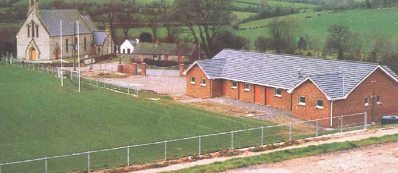 Páirc Naomh Pádraig, St. Patrick's GAA, RockGAA ground · 3.1 mi
 C17th house & bawn, possibly on site of earlier fort: castle caulfield in Lisnamonaghan, CastlecaufieldC17th house & bawn, possibly on site of earlier fort: castle caulfield · 4.1 mi
Explorer Tom C17th house & bawn, Possibly on site of earlier fort: castle caulfield in Lisnamonaghan thinks it's better than the…
 CastlecaufieldCastle · 4.1 mi
Explorer Tom Castlecaufield came this close to making the news but got shy and hid behind some hedgerows. It’s got that look of a…
 Island, possibly crannog in BallysaggartIsland, possibly crannog · 4.5 mi
Explorer Tom Island, Possibly crannog in Ballysaggart is a floating piece of land that the local sheep think is just a very fancy…
 Multiperiod church & graveyard in BallinderryMultiperiod Church & Graveyard · 12 mi
Explorer Tom Multiperiod church & graveyard in Ballinderry in County Derry handles nosey neighbours by simply waiting for them to…
 Bird IslandIslet · 15 mi
Explorer Tom Bird Island is named after a bird that clearly never left the building. It's been sitting there since the Bronze Age…
 Graveyard? in AnnaghmoreGraveyard? · 17 mi
Explorer Tom Graveyard? in Annaghmore is sick of being asked 'Is this actually a graveyard?' by every single tourist who wanders…
More archaeology and monuments in County Tyrone · All of County Tyrone

What do you know about this place?Tap to add a comment or ask a question