What is recorded here
The official Northern Ireland record identifies this as PLATFORM RATH. Recorded period: E.CHRIST.. The official map point was placed at the centre of the recorded archaeological site from the source map reference.
The monument record does not grant public access. Check the route and ask the landowner before entering private land.
- What survives
- Recorded monument
Places near here
 ENCLOSURE in SandholesENCLOSURE · 1.2 mi
 HOLY WELL: TOBERAKILL in KiltoberHOLY WELL: TOBERAKILL · 1.3 mi
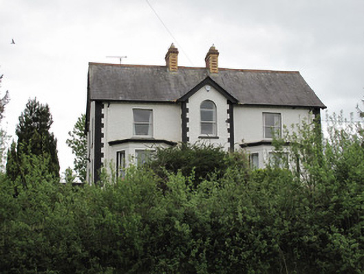 Ard na Gaoithehouse · 1.3 mi
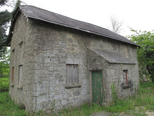 Orange HallOrange Hall · 1.4 mi
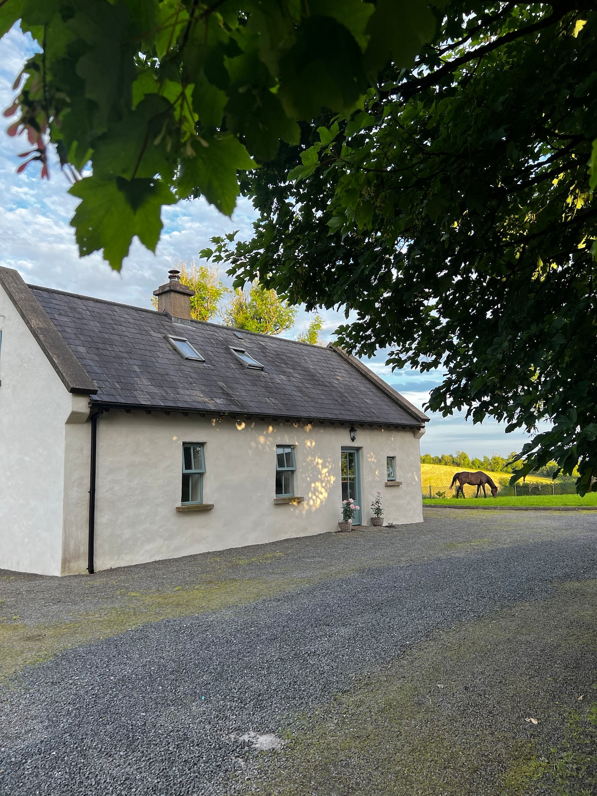 PLANTATION HOUSE & BAWN (unlocated) in LisnashillidaPLANTATION HOUSE & BAWN (unlocated) · 1.9 mi
 Battle of Newtownbutlerbattle · 1.9 mi
 C17th HOUSE & BAWN: CASTLE BRINDSLEY (unlocated) in SheenyC17th HOUSE & BAWN: CASTLE BRINDSLEY (unlocated) · 2.1 mi
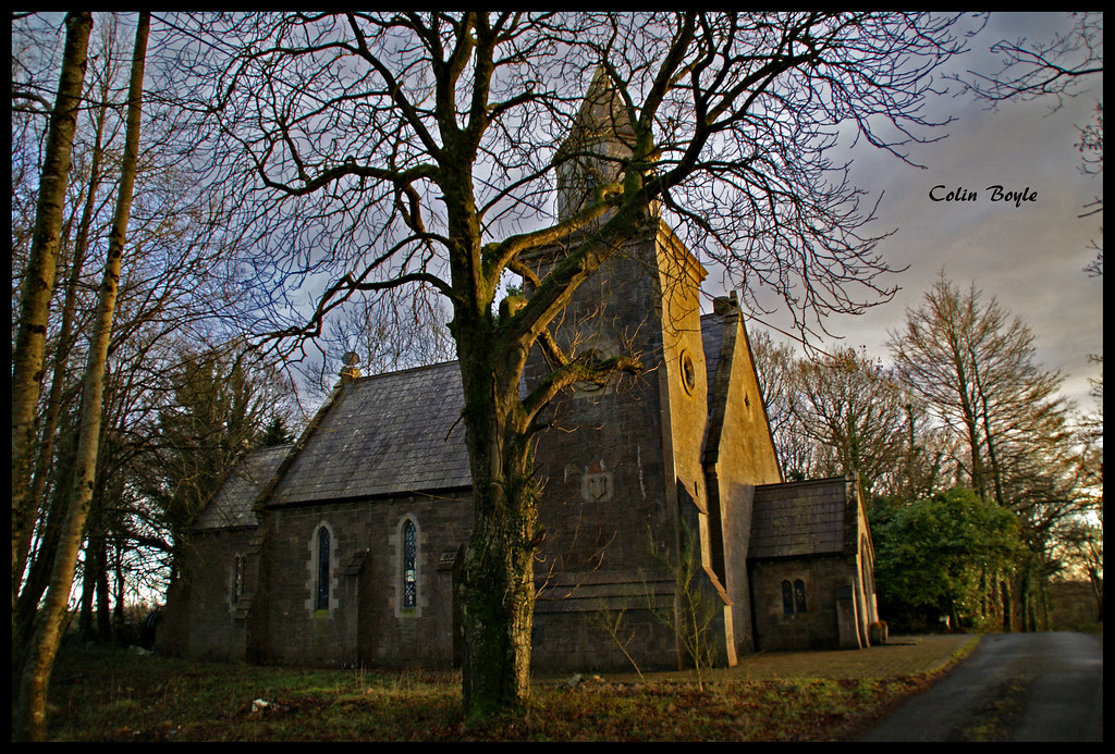 Quivvy WoodWood · 2.8 mi
 SandhillsMountain / peak · 3.6 mi
 Downs WoodWood · 3.7 mi
 Ulster Canal Stores Visitor CentreHeritage attraction · 3.9 mi
 The Cassandra Hand CentreMuseum · 4.1 mi