
What is recorded here
From the Northern Ireland Sites and Monuments Record record FER230:063
Places near here
Photo credits
- Kmcnamee, Wikimedia Commons · CC BY-SA 4.0
- Maker not stated on source page, uk.pinterest.com
- Kenneth Allen, Wikimedia Commons · CC BY-SA 2.0
- Maker not stated on source page, theirishaesthete.com
- Maker not stated on source page, br.pinterest.com
- Maker not stated on source page, www.pinterest.com
- Kenneth Allen, Geograph · CC BY-SA 2.0
- Jonathan Billinger, Wikimedia Commons · CC BY-SA 2.0
- Maker not stated on source page, www.geograph.ie
 Páirc na hÓige, St. Mary's GAA, MaguiresbridgeGAA ground · 1260 yd
 Mapped graveyardGraveyard · 1.1 mi
Explorer Tom Put this on a tombstone and it would read 'I was here, I saw everything, and I still have no idea what happened next.'…
 Christ ChurchChurch · 1.1 mi
Explorer Tom Christ Church in Maguiresbridge is where the whole parish argued about whose turn it was to wash the windows. It’s…
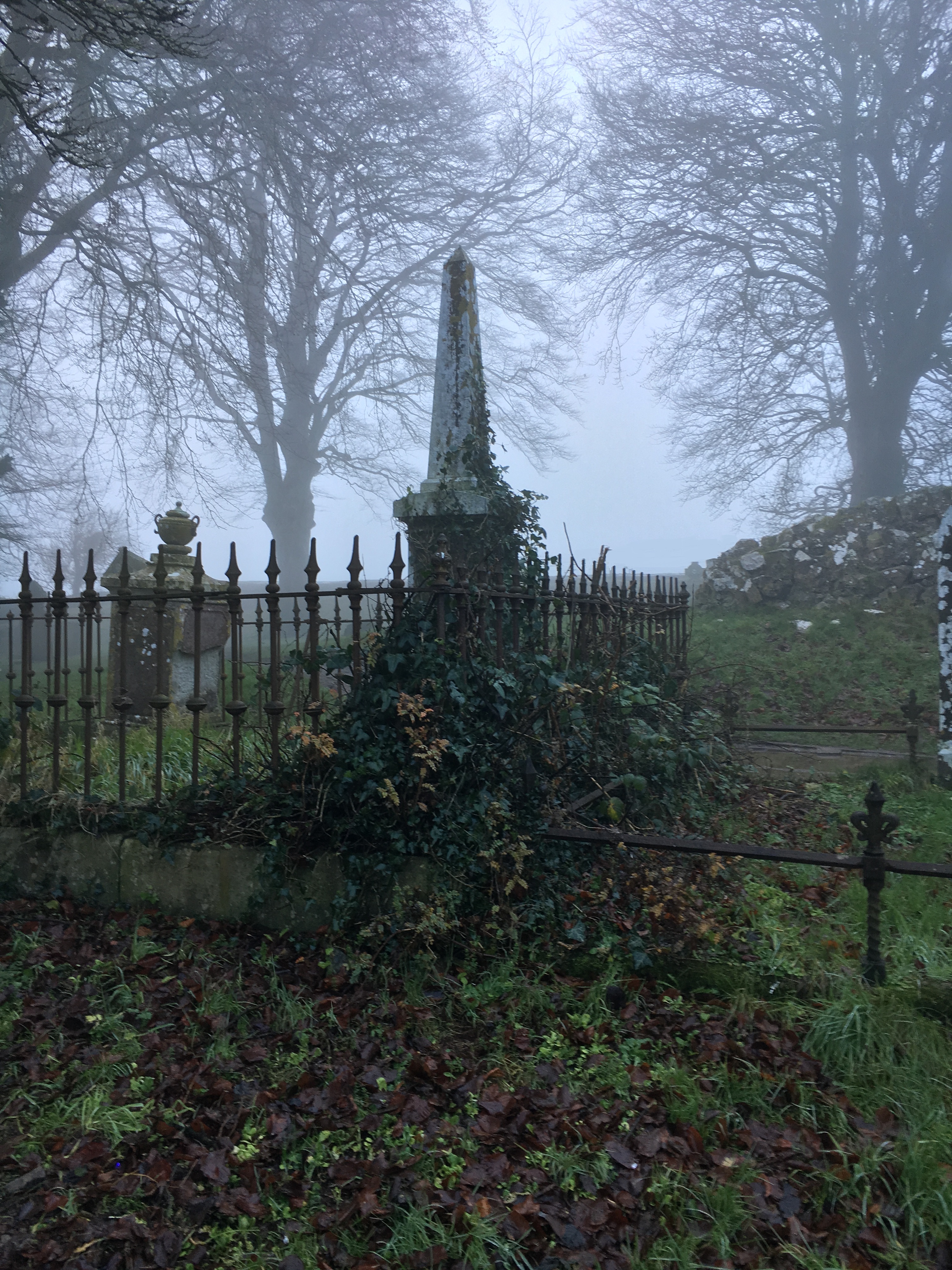 Graveyard in TatteevaghGraveyard · 2.0 mi
Explorer Tom Graveyard in Tatteevagh is playing the long game, sitting on private land like it owns the whole hill. The official…
 Barrow cemetery & burnt mounds (Fulachta Fiadh) in DerryharneyBarrow cemetery & burnt mounds (Fulachta Fiadh) · 2.1 mi
Explorer Tom Barrow cemetery & burnt mounds in Derryharney hears the ghosts complaining about the dampness through its thick stone…
 Mapped cemeteryCemetery · 2.1 mi
Explorer Tom "Mapped cemetery is deeply suspicious of the postman because he once left a parcel of potatoes there and they turned…
 Standing stone (removed) in DerryreeStanding stone (removed) · 2.6 mi
Explorer Tom The standing stone in Derryree was removed, which means it’s either on holiday or it got evicted for not paying its…
 Presbyterian ChurchChurch · 3.1 mi
Explorer Tom Lisnaskea Presbyterian Church in County Fermanagh would have its tombstone read 'He was grumpy but he was right.' It…
 Castle: castle balfour in Castle Balfour DemesneCastle: Castle Balfour · 3.3 mi
Explorer Tom Castle Balfour has a prophecy that says it will float away one day, which hasn’t happened yet despite many people…
 Castle BalfourCastle · 3.3 mi
Explorer Tom Castle Balfour in Lisnaskea has an imaginary twin across the sea that sends it postcards every year. It’s sitting next…
 The Station House, BrookeboroughHeritage attraction · 3.9 mi
Explorer Tom The Station House in Brookeborough is sitting next to a feed shop, which I’m pretty sure it hates more than anything…
 Friars IslandIsland · 4.3 mi
Explorer Tom Friars Island in Fermanagh is named after monks who probably left a cow behind by accident, and that cow somehow tried…
More archaeology and monuments in County Fermanagh · All of County Fermanagh

What do you know about this place?Tap to add a comment or ask a question