
What is recorded here
Castle Balfour rose in County Fermanagh during the post-medieval and seventeenth centuries, serving as a fortified anchor for local power before falling into ruin. Its stones still mark the demesne, preserving the shape of a residence that once commanded respect and perhaps fear. The castle no longer stands complete, but its boundary remains clear enough to imagine the halls, guards and daily life that filled the space.
The official Northern Ireland record identifies this as CASTLE: CASTLE BALFOUR. Recorded period: POST-MED; C17TH. Recorded protection: State Care. The official map point was placed at the centre of the recorded archaeological site from the source map reference.
Built in the 17th century, Castle Balfour was held by the Balfour family, after whom it is named. It is remembered as a historic structure now in State Care, reflecting its archaeological and architectural significance in Northern Ireland.
The monument record does not grant public access. Check the route and ask the landowner before entering private land.
- What survives
- Recorded monument
Places near here
 Castle BalfourCastle · 9 yd
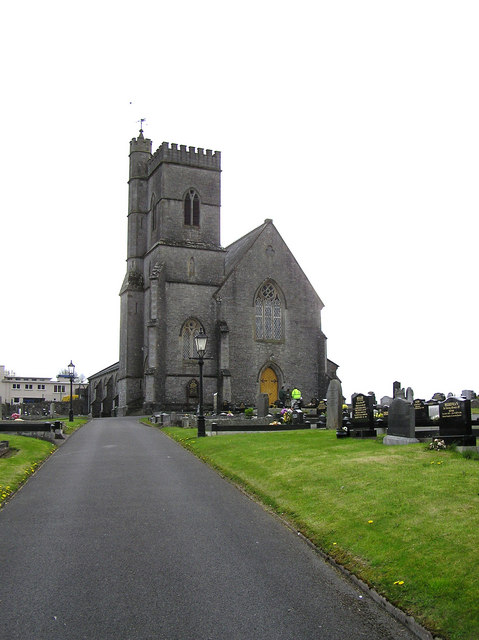 CHURCH in LisnaskeaCHURCH · 45 yd
 Holy Trinity ChurchChurch · 57 yd
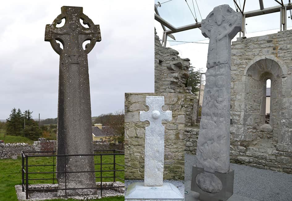 Celtic High CrossHeritage attraction · 289 yd
 ENCLOSURE in SheebegENCLOSURE · 1164 yd
 CAIRN & ENCLOSURESCAIRN & ENCLOSURES, INAUGURATION SITE: MOTE · 1323 yd
 Carrowhony Pet FarmHeritage attraction · 1.5 mi
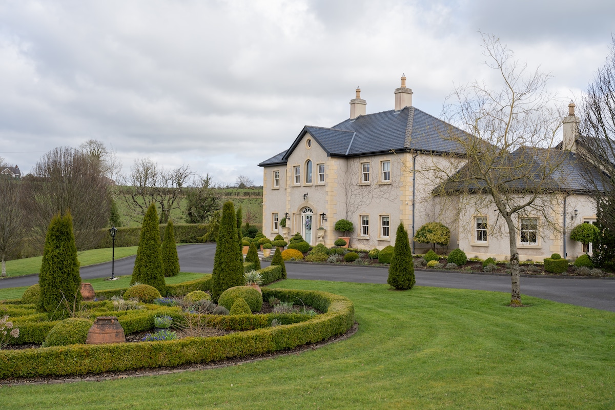 PLANTATION HOUSE & BAWN & LATER HOUSE: MANOR WATERHOUSE in Manor Water HousePLANTATION HOUSE & BAWN & LATER HOUSE: MANOR WATERHOUSE · 1.8 mi
 Rabbit IslandIsland · 2.6 mi
 InishoreIsland · 2.7 mi
 Toners WoodWood · 4.2 mi
 Inishbeg HillMountain / peak · 4.3 mi
Other information
Photo: Kenneth Allen · CC BY-SA 2.0