
What is recorded here
In Ballyfounder, County Down, a platform rath stands scheduled and exposed, its earthworks marking a boundary between ordinary field and remembered power. The distinction matters because a rath is not a random heap; it is a shape made by human hands to hold authority, vision or life. That much is clear. What is absent is the name of the person who first walked its edge, the reason the platform rose above the surrounding land, and the moment the arrangement stopped being a temporary idea and became a permanent feature of the place.
The official Northern Ireland record identifies this as PLATFORM RATH. Recorded period: E.CHRIST.. Recorded protection: Scheduled. The official map point was placed at the centre of the recorded archaeological site from the source map reference.
The monument record does not grant public access. Check the route and ask the landowner before entering private land.
- What survives
- Recorded monument
Places near here
 Millin Bay CairnArchaeological place · 888 yd
 MEDIEVAL CHURCH & GRAVEYARD: BALLYTRUSTAN; THRUSTAYNISTONE in BallytrustanMEDIEVAL CHURCH & GRAVEYARD: BALLYTRUSTAN; THRUSTAYNISTONE · 1009 yd
 Enclosure in BallymarterEnclosure · 1575 yd
 Quintin CastleCountry House · 1600 yd
 Portaferry Presbyterian ChurchChurch · 1.8 mi
 Sandy IslandIslet · 1.8 mi
 Swan IslandIslet · 1.9 mi
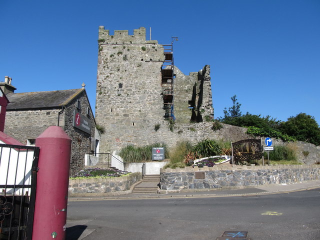 Portaferry CastleCastle · 1.9 mi
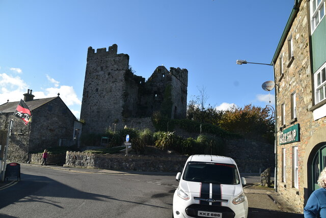 TOWER-HOUSE: PORTAFERRY CASTLE in Ballyphilip; PortaferryTOWER-HOUSE: PORTAFERRY CASTLE · 1.9 mi
 Kearney Coastal Walk, KearneyWalking route · 2.3 mi
 Cranes' CornerHeadland · 2.3 mi
 Ballyquintin Point Nature ReserveNature reserve · 2.4 mi
Other information
Photo: Eric Jones · CC BY-SA 2.0