
What is recorded here
The official Northern Ireland record identifies this as Enclosure. Recorded period: UNCERTAIN. The official map point was placed at the centre of the recorded archaeological site from the source map reference.
A local fairy fort (ringfort/rath); wider significance not recorded.
The monument record does not grant public access. Check the route and ask the landowner before entering private land.
- What survives
- Recorded monument
Places near here
 Quintin CastleCountry House · 110 yd
 AP Cropmark- Pennanular enclosure in BallymarterAP Cropmark- Pennanular enclosure · 201 yd
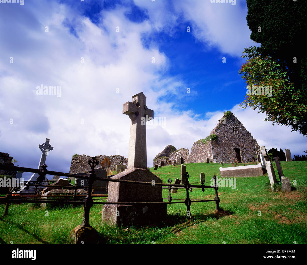 A.P SITEA.P SITE, Enclosures/Possibly ring ditches · 250 yd
 MEDIEVAL CHURCH & GRAVEYARD: BALLYTRUSTAN; THRUSTAYNISTONE in BallytrustanMEDIEVAL CHURCH & GRAVEYARD: BALLYTRUSTAN; THRUSTAYNISTONE · 1.3 mi
 Kearney Coastal Walk, KearneyWalking route · 1.4 mi
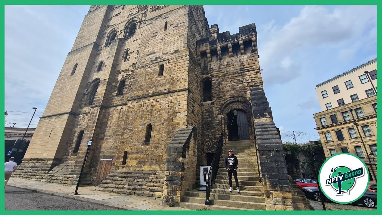 CASTLE in NewcastleCASTLE · 1.7 mi
 Portaferry Presbyterian ChurchChurch · 2.2 mi
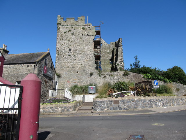 Portaferry CastleCastle · 2.4 mi
 Corrog WoodWood · 2.4 mi
 Swan IslandIslet · 2.5 mi
 Sandy IslandIslet · 2.6 mi
 Ballyquintin Point Nature ReserveNature reserve · 3.0 mi
Other information
Photo: Credit not shown in the picture search · Rights wording not checked; contact us if this picture should be removed