
What is recorded here
From the Northern Ireland Sites and Monuments Record record TYR038:012
Places near here
Photo credits
- HENRY CLARK, Wikimedia Commons · CC BY-SA 2.0
- Maker not stated on source page, ru.pinterest.com
- HENRY CLARK, Geograph · Creative Commons Attribution-ShareAlike 2.0
- Linda Bailey, Wikimedia Commons · CC BY-SA 2.0
- Maker not stated on source page, www.irishcentral.com
- Iain Crump, Wikimedia Commons · CC BY-SA 2.0
- Golfing in Ireland; photographer not stated, Source publisher
- Rock St Patrick’s GFC official club website; individual photographer not stated, www.rockstpatricksgac.co.uk
- Kenneth Allen, Wikimedia Commons · CC BY-SA 2.0
- dougf, Geograph · CC BY-SA 2.0
 Orange HallHouse · 1361 yd
Explorer Tom Orange Hall in Donaghrisk would file a complaint with the council about how nobody ever actually visits it for its…
 Church, graveyard & cross-carved stone in DesertcreatChurch, Graveyard & Cross-carved Stone · 1385 yd
Explorer Tom Desertcreat Church has very strong opinions on modern buildings, specifically that they’re all made of cardboard and…
 Graveyard in DonaghriskGraveyard · 1.1 mi
Explorer Tom Donaghrisk Graveyard has a strong opinion of the road that leads to it, calling it 'too loud and too new'. It’s been…
 Holy well: friar's well in DonaghriskHoly Well: Friar's Well · 1.2 mi
Explorer Tom Holy well: friar's well in Donaghrisk is in a constant, silent feud with the rain, complaining about getting soaked…
 Sandholes Presbyterian ChurchChurch · 1.3 mi
Explorer Tom Sandholes Presbyterian Church in Skenarget is built on top of actual sand dunes, which makes it feel like it's slowly…
 Hilltop Enclosure & Inauguration Site of the O'neills: Tullaghoge Fort in Ballymully GlebeHilltop Enclosure & Inauguration Site of the O'neills: Tullaghoge Fort · 1.4 mi
Explorer Tom Hilltop Enclosure & Inauguration Site of the O'neills: Tullaghoge Fort in Ballymully Glebe has strict rules about who…
 Tullaghoge FortArchaeological place · 1.4 mi
Explorer Tom Tullaghoge Fort is a hill that could make a chief out of a man, which would be wasted on me: I cannot even organise a…
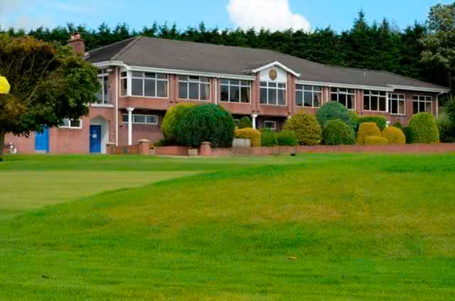 Killymoon Golf ClubGolf course · 2.3 mi
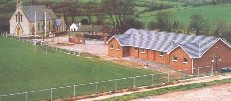 Páirc Naomh Pádraig, St. Patrick's GAA, RockGAA ground · 3.0 mi
 Drum Manor Forest ParkWood · 3.6 mi
Explorer Tom Drum Manor Forest Park near Cookstown gives you woodland paths, a wildfowl lake and the ruins of a manor house, as if…
 Roughan CastleCastle · 3.8 mi
Explorer Tom Roughan Castle is trying to explain the 1800s to a teenager who keeps looking at their phone instead of paying…
Castle: roughan castle in RoughanCastle: Roughan Castle · 3.8 miExplorer Tom Castle: Roughan castle in Roughan is stuck in a feud with the other family over who gets to own the view of the lough.…
More archaeology and monuments in County Tyrone · All of County Tyrone

What do you know about this place?Tap to add a comment or ask a question