
What is recorded here
Longitudinal brushwood (diam. 0.05m max.) and twigs appeared to be orientated WNW-ESE. The material was closely set in the centre becoming less dense towards edges though this may have been due to milling. The evidence suggested that this was likely to have been the remains of a platform (exposed L 0.6m, Wth 0.9m).
Compiled by: Mary Tunney based on data supplied by Jane Whitaker, Archaeological Development Services.
Date of upload: 26 August 2011
The monument record does not grant public access. Check the route and ask the landowner before entering private land.
- What survives
- Recorded monument
Places near here
 PlatformPlatform, peatland · 116 yd
 RoadRoad, class 3 togher · 388 yd
 42nd Locklock keeper's house · 973 yd
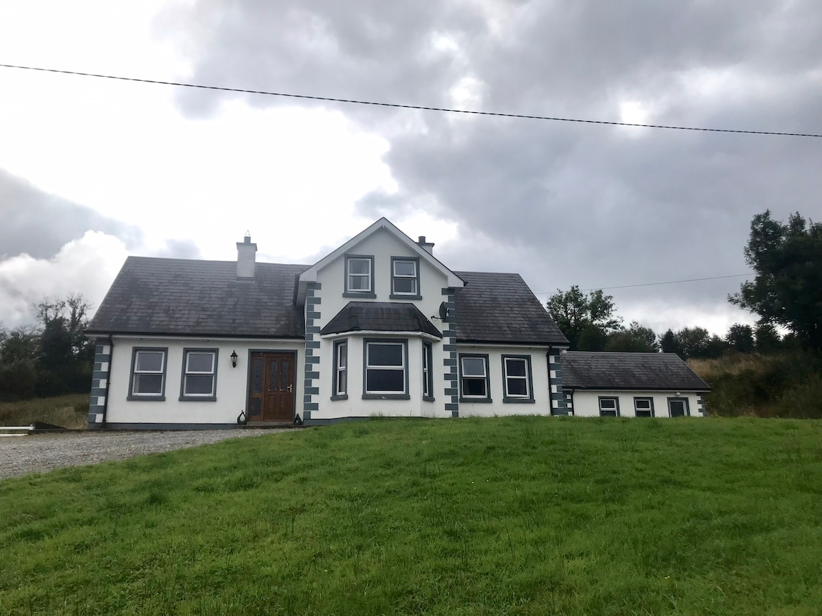 IndicatedBawn · 1579 yd
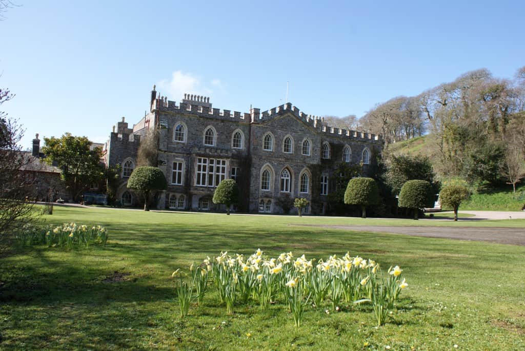 StructureStructure, peatland · 1.0 mi
 Bawn in BallyknockBawn · 1.6 mi
 Graveyard in Curry (ardagh By., Coolamber Ed)Graveyard · 3.0 mi
 White Sand WoodWood · 5.4 mi
 Wild birdsVisitor information · 5.5 mi
 Commons North WalkVisitor information · 5.5 mi
 Ballyclare IslandIslet · 5.9 mi
 Priest's IslandIslet · 6.8 mi
Other information
Photo: Credit not shown in the picture search · Rights wording not checked; contact us if this picture should be removed