What is recorded here
Originally recorded as a compact band (exposed L 8m; Wth 3.5m; T 0.34m) of brushwood (diam. 0.01-0.06m) exposed towards the top of an ESE drain face. One metal-cut chisel-point end was noted (Dunne 1999, 36, 99DBSE027A). Excavation in 2001 yielded a date of 973-941 BC and revealed an elongated triangular platform structure (Whitaker 2009, 26). The remains were aligned N-S and were composed of two layers of identical composition with the elements laid at 45° to each other. The lower layer contained larger elements (diam. 0.05-0.08m). The platform was constructed of hazel and ash. Only four toolmarked elements were uncovered: three small chisel-point brushwood pieces and a larger, pencil-point roundwood that appeared to have been burnt at the tip.
Compiled by: Mary Tunney based on data supplied by Jane Whitaker, Archaeological Development Services.
Date of upload: 26 August 2011
The monument record does not grant public access. Check the route and ask the landowner before entering private land.
- What survives
- Recorded monument
Places near here
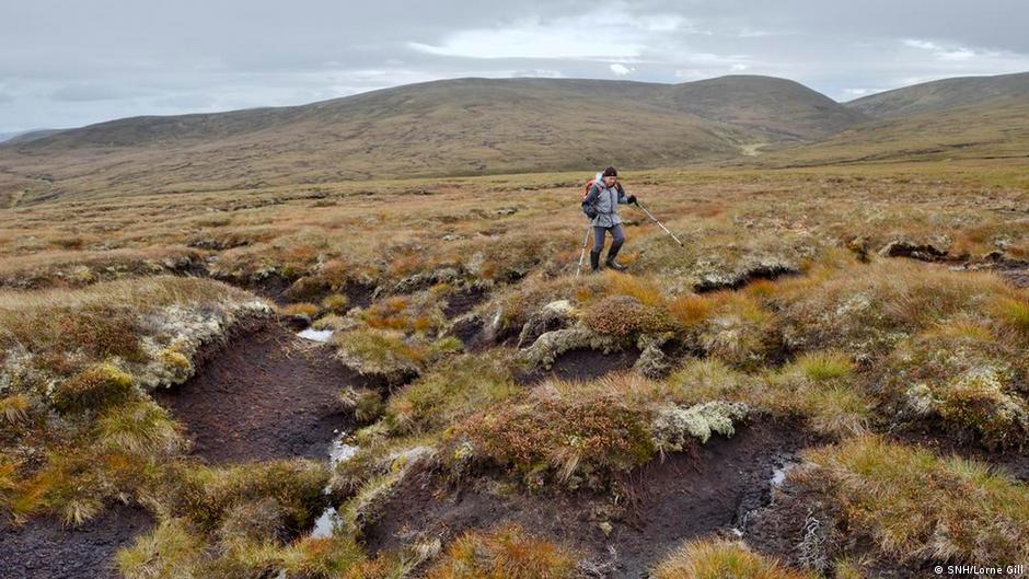 PlatformPlatform, peatland · 115 yd
 StructureStructure, peatland · 186 yd
 RoadRoad, class 2 togher · 241 yd
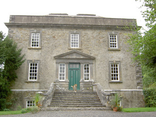 Ledwithstown Househouse · 1.6 mi
 Corlea Trackway Interpretative CentreHeritage attraction · 1.8 mi
 Corlea Bog Walk Blue LoopWalking route · 1.9 mi
 Corlea Bog Walk Canal BranchWalking route · 1.9 mi
 Caltragh CastleCastle, unclassified · 2.9 mi
 CastleBawn · 3.5 mi
 Leveret IslandIslet · 3.6 mi
 Culnagore WoodForest · 3.7 mi
 Bush IslandIslet · 3.8 mi