What is recorded here
A small area of exposed roundwood and brushwood (overall exposed L 1.2m; Wth 0.6m) was located on the field surface and was being milled. Four principle rods (diam. 0.03-0.06m; exposed L 0.45-1.1m) were parallel, closely set or adjoining, and extended under the milled surface. A further roundwood (exposed L 0.1m) extended diagonally into the bog. Other smaller fragments of brushwood and twigs were also present. The evidence suggested that this was likely to be the remains of a platform. (Dunne 1999, 45, 99DD0016A)
Compiled by: Mary Tunney based on data supplied by Jane Whitaker, Archaeological Development Services.
Date of upload: 26 August 2011
The monument record does not grant public access. Check the route and ask the landowner before entering private land.
- What survives
- Recorded monument
Places near here
 RoadRoad, class 1 togher · 105 yd
 PlatformPlatform, peatland · 112 yd
 Big FortFairy fort / earthen ringfort · 615 yd
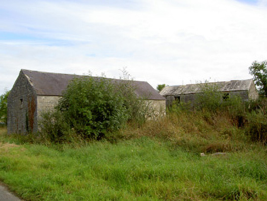 mill (water)mill (water) · 1.1 mi
 Commons North WalkVisitor information · 2.9 mi
 Wild birdsVisitor information · 3.0 mi
 White Sand WoodWood · 3.0 mi
 Rathcline CastleBawn · 3.4 mi
 Ballyclare IslandIslet · 3.5 mi
 Graveyard in Curry (ardagh By., Coolamber Ed)Graveyard · 4.3 mi
 Caltragh CastleCastle, unclassified · 4.7 mi
 Goat's IslandIslet · 4.9 mi