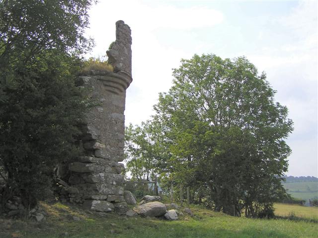
What is recorded here
Recorded protection: Scheduled.
From the Northern Ireland Sites and Monuments Record record TYR002:003
The monument record does not grant public access. Check the route and ask the landowner before entering private land.
- What survives
- Recorded monument
Places near here
 Glencush BridgeBridge · 764 ydBallynabwee FortArchaeological place · 949 yd
 Donemana Presbyterian ChurchChurch · 2.0 miGortmonly HillMountain / peak · 2.2 mi
 Curryfree HillMountain / peak · 2.9 miBattle site: battle of the fords, Northern crossing, 1689 in Ballydonaghy; Greenlaw; LeckpatrickBattle site: battle of the fords, Northern crossing, 1689 · 3.8 miRound WoodWood · 3.9 mi
 Altinaghree CastleCastle · 4.1 mi
 Mongavlin CastleHouse, fortified house · 4.2 mi
 Wedge tomb: giant's grave in LoughashWedge Tomb: Giant's Grave · 4.9 mi
 Abercorn FactoryHeritage attraction · 6.2 mi
 Gray PrinterHeritage attraction · 6.4 mi
Pictures: Kenneth Allen, Wikimedia Commons · CC BY-SA 2.0; Kenneth Allen, Geograph · CC BY-SA 2.0; Nick W, Wikimedia Commons · CC BY-SA 2.0; 60McCurdy, Wikimedia Commons · CC BY-SA 3.0
More castles and forts in County Tyrone · All of County Tyrone
What do you know about this place?