What is recorded here
Towards the top of the N-facing slope of Rathcroghan ridge. An area of c. 7 ha (c. 15 acres) W of barrow (RO022-056005-) contains pits in two principal groups. A double line of about nine pits (dims c. 12m x c. 5-7m; D 0.3-0.8m) runs NE-SW and ends at SW in a pond. Just to the SW of the pond on a slight rise is a group of about seven pits aligned N-S or E-W.
Compiled by: Michael Moore
Date of upload: 24 August 2010
The monument record does not grant public access. Check the route and ask the landowner before entering private land.
- What survives
- Recorded monument
Places near here
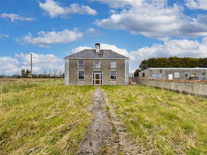 Enclosure in BallyconboyEnclosure · 437 yd
 Ancient RoadRoad, road/trackway · 577 yd
 RathmoreFairy fort / earthen ringfort · 996 yd
 RoadRoad, road/trackway · 1.8 mi
 GortnacushlaunCastle, unclassified · 3.0 mi
 CastlerubyCastle, unclassified · 3.2 mi
 European ashEuropean ash · 3.2 mi
 ToberagullaSpring · 3.2 mi
 Cruachan Aí Heritage CentreMuseum · 3.6 mi
 War of Independence Commemorative Military MemorialMemorial · 4.1 mi
 Gray's WoodForest · 6.0 mi
 Silver IslandIslet · 7.2 mi