What is recorded here
In pasture, 130m W of townland boundary with Ballynatona. A Pit (LI049-123----) lies 4m to the SE. Not marked on OSi 6-inch maps. One of three isolated pits (sites TR/2/15/1-3) identified after the removal of sod and topsoil on Bórd Gáis Éireann Curraleigh West-Limerick gas pipeline (1988, 73, 109, 179). Excavated by Eoin Grogan the results of which were summarised as following; ‘Pit 3 [LI049-0120----] was situated over 100m from pits 1 [LI049-123----] and 2 [LI049-122----]. Pit 2 lay on the left-hand side of the trench. It had a maximum width of 50cm and was 35cm deep, containing a charcoal-flecked fill with burnt stone. The condition of the trench prevented detailed investigation’ (Grogan 1987, 28-29).
See attached location map from Gowen (1988, 73).
Compiled by: Fiona Rooney
Date of upload: 13 October 2021
The monument record does not grant public access. Check the route and ask the landowner before entering private land.
- What survives
- Recorded monument
Places near here
 Rathcoonagh, HachuredFairy fort / earthen ringfort · 615 yd
 LisnagreeveConcentric enclosure · 992 yd
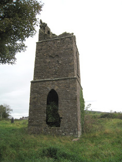 Duntryleague Church (Galbally)church/chapel · 1703 yd
 Duntryleague - hachuredCastle, ringwork · 1707 yd
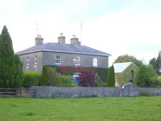 rectory/glebe/vicarage/curate's houserectory/glebe/vicarage/curate's house · 1724 yd
 Duntryleague HillMountain / peak · 1.3 mi
 Darby's Bed Walk LoopWalking route · 1.3 mi
 Site of Castle, Castle FieldCastle, unclassified · 1.8 mi
 Saint Patrick's WellSpring · 2.5 mi
 SlievereaghMountain / peak · 3.0 mi
 Carn (site of)Cairn, burial cairn · 3.2 mi
 Edmund's WellSpring · 3.6 mi