What is recorded here
On a gradual SE-facing slope of a hill in undulating terrain, under tillage - beet. Circular cropmark (diam. c. 20m) identified on an aerial photograph (ASIAP (28) 31), which appears as a macula or dark green area, possibly indicating a pit. There is no visible trace above ground. A similar cropmark (TS082-097001-) was identified in the field to the N, c. 100m to the NW.
Compiled by: Jean Farrelly
Date of upload: 24 February 2014
This remains an important historical record, but the official description says the monument is no longer visible or has been destroyed. The monument record does not grant public access. Check the route and ask the landowner before entering private land.
- What survives
- No visible remains or recorded as destroyed
Places near here
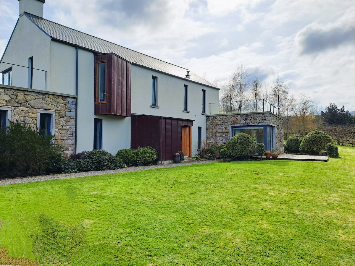 Enclosure in Knocklofty DemesneEnclosure · 426 yd
 Castle, Kilmanahan CastleCastle, tower house · 593 yd
 Site of ChurchChurch · 601 yd
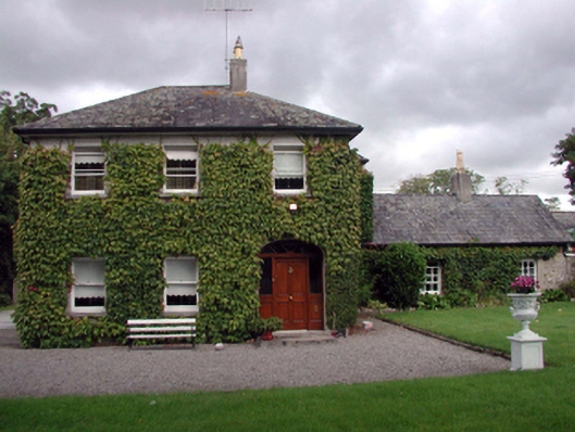 Kilmanahan Castlehouse · 610 yd
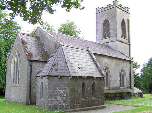 Tullaghmelan Churchchurch/chapel · 1014 yd
 Hybrid Black PoplarHybrid Black Poplar · 1035 yd
 Deodar CedarDeodar Cedar · 1535 yd
 European long distance path E8 - part IrelandWalking route · 1.7 mi
 Ballindoney Castle (in ruins)Castle, tower house · 2.4 mi
 Woodcock HillMountain / peak · 4.1 mi
 Grubb's IslandIslet · 4.3 mi
 Scrouthea HillMountain / peak · 4.3 mi