What is recorded here
Dromgarriff South holds a hidden chamber of small pits, waiting beneath ordinary soil for hands brave enough to ask what they kept.
On slightly undulating arable land bounded by an area of recently felled woodland to the south and Dromgarriff Lane to the east. The pits have been fully excavated and preserved by record.
Compiled by: Jennifer McCarthy
Date of upload/revision: 10 May 2023
Moloney, C. Hourihan, S. and Long, P. 2016. An Archaeological, Architectural and Cultural Heritage
Impact Assessment of lands at the Proposed Solar Farm Development at Dromgarriff South,
Whitechurch, Co. Cork. Unpublished Client Report.
O’Connor, J. and Gooney, D. 2021. Preliminary excavation report on archaeological works for a
proposed solar farm development Dromgarrif South, Co. Cork (21E0152) (Unpublished Client Report)
O’ Connor, J. & O’Flaherty, E. 2021. Report on the Results of Archaeological Test Trenching at a
proposed solar array development at Dromgarriff South, Whitechurch, Co. Cork (21E0152).
Unpublished report by Rubicon Heritage Services Ltd.
O’Flaherty, E. 2016. Geophysical (fluxgate magnetometry) survey at Dromgarriff South, Whitechurch,
Co. Cork (Unpublished Client Report)
The monument record does not grant public access. Check the route and ask the landowner before entering private land.
- What survives
- Recorded monument
Places near here
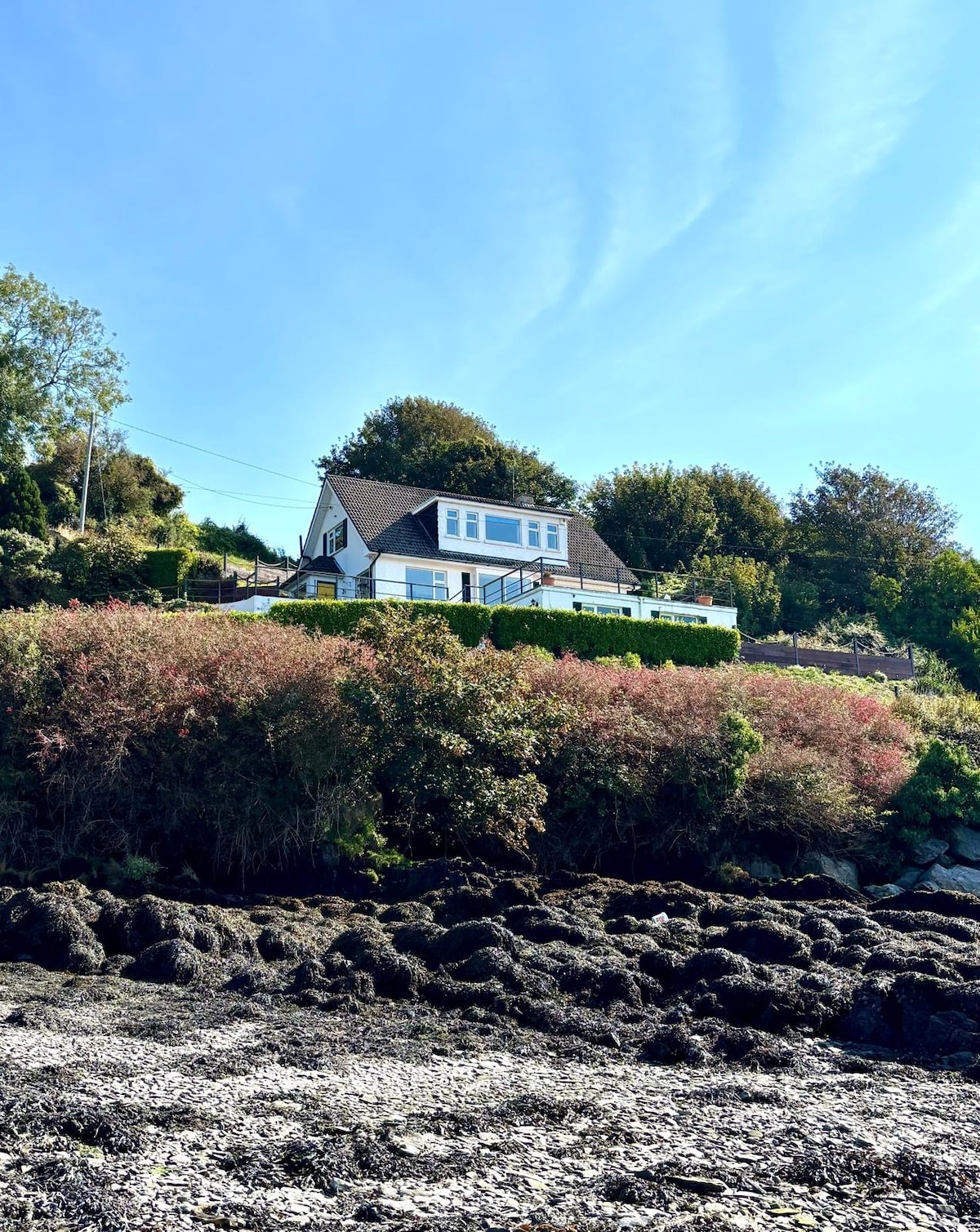 Fulacht fia in Dromgarriff NorthFulacht fia · 963 yd
 IndicatedFairy fort / earthen ringfort · 1179 yd
 Graveyard in KilmonaGraveyard · 1.1 mi
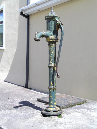 water pumpwater pump · 1.3 mi
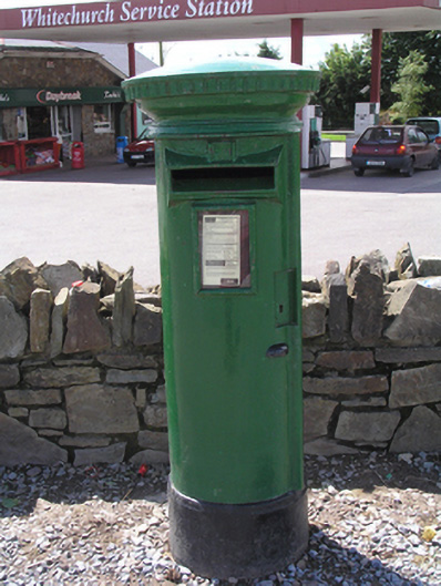 post boxpost box · 1.3 mi
 Pairc Ath Na hEornaMemorial · 1.9 mi
 Garrycloyne Castle (in Ruins)Castle, tower house · 2.1 mi
 BatsVisitor information · 3.0 mi
 Castle (in Ruins)Castle, tower house · 3.0 mi
 Waterloo Loop WalkWalking route · 3.1 mi
 River Martin Mill & WeirVisitor information · 3.1 mi
 Ring WoodWood · 3.6 mi