What is recorded here
Located on a SW-facing slope. Archaeological testing (E003594) by S. Rathbone (2007) of an area of almost 4 hectares required for the M3 development identified and excavated two small pits that could be hearths (excavations.ie 2007:1300). One is oval (dims 0.86m NW-SE; 0.44m NE-SW; D 0.15m) with a soft pink/brown silty clay layer that has small stones and pieces of charcoal over a soft black silty clay with frequent charcoal. About 50m to the SW was a second subcircular feature (dims 0.76m N-S; 0.66m E-W; D 0.06m) with a single fill of a soft black silty clay with frequent pieces of charcoal and small stones. No artefacts were recovered. Archaeological monitoring of soil-stripping over the remainder of the area by the same archaeologist under the same licence produced no further material.
Compiled by: Michael Moore
Date of upload: 6 January 2023
Rathbone, S. 2007 M3 Clonee – North of Kills Motorway Scheme. Proposed Borrow pit at Derver. Licence: E003549. Unpublished report, Archaeological Consultancy Services
The monument record does not grant public access. Check the route and ask the landowner before entering private land.
- What survives
- Recorded monument
Places near here
 FortsCastle, motte and bailey · 572 yd
 Mote of DerverArchaeological place · 596 yd
 Church in EdenburtChurch · 883 yd
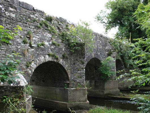 O'Daly's Bridgebridge · 1445 yd
 IndicatedEnclosure · 1528 yd
 Woodpole Fox CovertWood · 1.1 mi
 Feegat ForestWood · 1.3 mi
 Balgree MoteCastle, motte · 1.4 mi
 MaperathMountain / peak · 2.6 mi
 MountainpoleMountain / peak · 3.8 mi
 Oliver Plunkett memorialMemorial · 4.0 mi
 The Kieran Flanagan WayMemorial · 4.1 mi