
What is recorded here
From the National Monuments Service (Archaeological Survey of Ireland) record MA061-229
Places near here
Photo credits
- National Inventory of Architectural Heritage
- Maker not stated on source page, www.exploringgb.co.uk
- Maker not stated on source page, www.flickr.com
- Maker not stated on source page, www.pinterest.com
- Golfing in Ireland; photographer not stated, Source publisher
- Swinford GAA; the page thanks Michael Maye, Rita Campbell and Fiona McDonagh, without assigning the panoramic image to one maker, swinfordgaa.ie
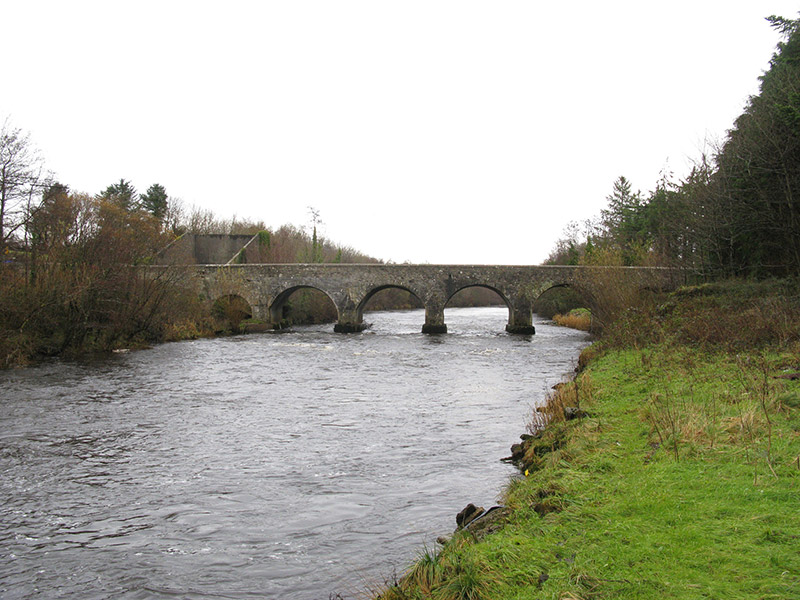 Cloongullaun BridgeBridge · 493 yd
Explorer Tom Cloongullaun Bridge in Cloongullaun, Pollsharvoge, County Mayo was used to smuggle cheese in barrels during the last…
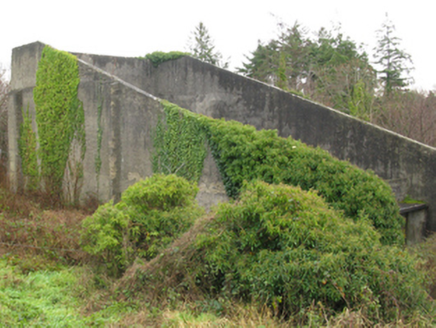 handball alley522 yd
Explorer Tom Handball alley in Pollsharvoge would tell Saint Patrick he missed the point entirely with all that snake stuff. It…
 Standing stone in CloonygowanStanding stone · 1.1 mi
Explorer Tom Standing stone in Cloonygowan, County Mayo was once used by a local matchmaker to judge if couples had good chemistry.…
 Church in RuinsChurch · 1.3 mi
Explorer Tom Church in Ruins in Ballintemple would cope brilliantly on a reality show. It’s quiet, brooding, and never answers…
 Swinford Railway StationSignal box · 1.6 mi
Explorer Tom Swinford Railway Station has a signal box that looks like it’s giving up on the whole concept of signaling. It’s…
 bridge1.6 mi
Explorer Tom Bridge in Carrowbeg is part of the 'Burma Road,' which sounds like an adventure but was just a railway line. It’s got…
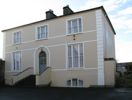 rectory/glebe/vicarage/curate's house1.7 mi
Explorer Tom Rectory in Swineford is showing off its fancy door, acting like it’s royalty when it’s just a vicar’s pad from 1819.…
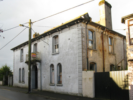 Swinford Town HallTown/county hall · 1.7 mi
Explorer Tom Swinford Town Hall is falling apart at the seams, literally. It was designed back in 1909 to look like a bank, so it’s…
 CastleCastle, unclassified · 1.9 mi
Explorer Tom Castle in Oldcastle is playing hard to get, hiding behind a name that sounds like it belongs on a cheese wheel. I bet…
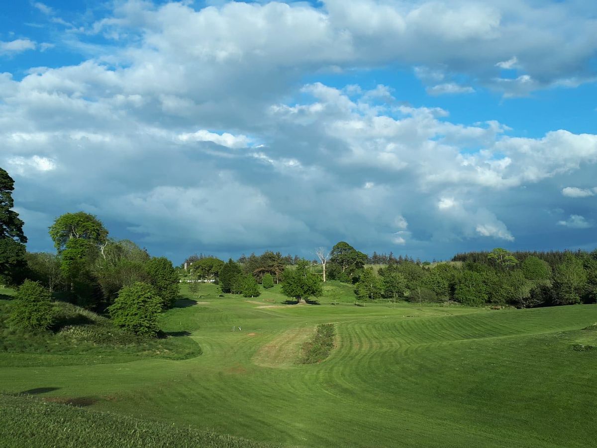 Swinford Golf ClubGolf course · 2.0 mi
 Kilconduff CemeteryGraveyard · 2.1 mi
Explorer Tom Kilconduff Cemetery in County Mayo would win the county fair without breaking a sweat because it has the best display…
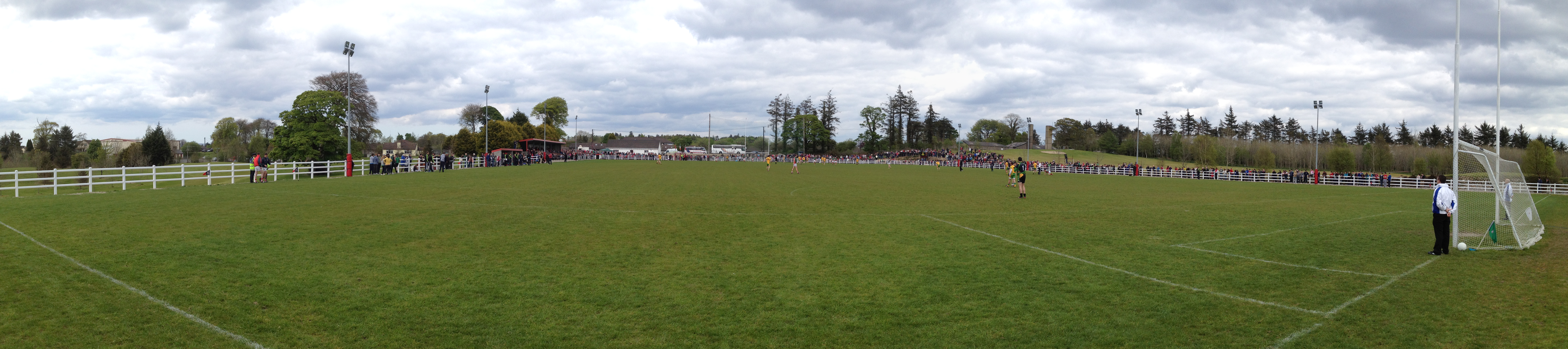 Robert McCallion Memorial Park, Swinford GAAGAA ground · 2.1 mi
More archaeology and monuments in County Mayo · All of County Mayo

What do you know about this place?Tap to add a comment or ask a question