What is recorded here
Beneath the Curraleigh pasture, a shallow pit held cremated bone and coarse pottery before the gas pipeline cut through the field. Claire Walsh excavated the truncated hole, revealing twelve sherds and six flint fragments buried under fifty centimetres of topsoil. The dead did not leave a mound or marker, only a small hollow near the ringfort where heat and memory once concentrated.
In pasture, 95m NE of townland boundary with Spittle a ringfort (LI049-126----) lies 125m to the SW. Not marked on OSi 6-inch maps. Isolated pit (site TR/2/13/1) identified after the removal of sod and topsoil on Bórd Gáis Éireann Curraleigh West-Limerick gas pipeline (Gowen 1988, 103-105). Excavated by Claire Walsh the results of which were summarised as following; ‘A truncated pit 90cm x 1.4m and 20cm deep, found beneath 50cm of topsoil. The fill contained unidentifiable cremated bone, twelve sherds of coarse pottery and six fragments of struck flint and chert’ (Walsh 1987, 23).
See attached location map from Gowen (1988, 103).
Compiled by: Fiona Rooney
Date of upload: 18 October 2021
The monument record does not grant public access. Check the route and ask the landowner before entering private land.
- What survives
- Recorded monument
Places near here
 Rathcoonagh, HachuredFairy fort / earthen ringfort · 172 yd
 LisnagreeveConcentric enclosure · 565 yd
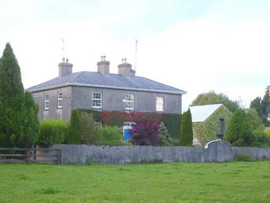 rectory/glebe/vicarage/curate's houserectory/glebe/vicarage/curate's house · 1595 yd
 Church (in ruins)Church · 1748 yd
 Duntryleague - hachuredCastle, ringwork · 1.3 mi
 Duntryleague HillMountain / peak · 1.4 mi
 Darby's Bed Walk LoopWalking route · 1.4 mi
 Site of Castle, Castle FieldCastle, unclassified · 1.6 mi
 Saint Patrick's WellSpring · 2.9 mi
 SlievereaghMountain / peak · 3.2 mi
 Carn (site of)Cairn, burial cairn · 3.5 mi
 Edmund's WellSpring · 3.9 mi