
What is recorded here
On gently sloping NE-facing pasture 100m SW of the River Maigue and the townland boundary with Inchinclare. One of a large group of prehistoric archaeological sites (LI031-211/212----) located 500m to SE, excavated on the Bord Gáis Éireann's Pipeline to the West in 2002 (Grogan et. al. 2007). No trace of the excavated…
Read the whole record
From the National Monuments Service (Archaeological Survey of Ireland) record LI031-225002
Places near here
Photo credits
- National Inventory of Architectural Heritage
- Dromin Athlacca Banogue club; individual photographer not named, drominathlaccabanogue.clubzap.com
- Maker not stated on source page, www.flickr.com
- Maker not stated on source page, ru.pinterest.com
- Garry Dickinson, Geograph · CC BY-SA 2.0
- Maker not stated on source page, en.wikipedia.org
- Maker not stated on source page, www.dreamstime.com
- Willow, Wikimedia Commons · CC BY 2.5
- Kmcnamee, Wikimedia Commons · CC BY-SA 4.0
 bridge585 yd
Explorer Tom The bridge in Ballynabanoge has a retirement plan involving a nice spot by a fire and zero cars, thanks to its varied…
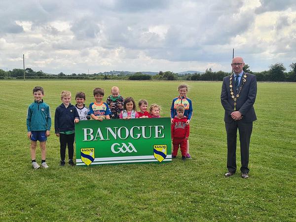 Banogue GAA pitchGAA ground · 819 yd
 Glen BevanCountry house · 964 yd
Explorer Tom Glen Bevan has an unlikely celebrity friend who is actually a very serious water tower that never leaves its side. Two…
 Fairy fort / earthen ringfort in GlenbevanFairy fort / earthen ringfort · 1278 yd
Explorer Tom Fairy fort / earthen ringfort in Glenbevan was built by three lads who drank four hundred cups of tea. They forgot the…
 Cherrygrove BridgeBridge · 1629 yd
Explorer Tom Cherrygrove Bridge in Ballymacrory is playing hide-and-seek with me. Built by Michael Farrell in 1801, it refuses to…
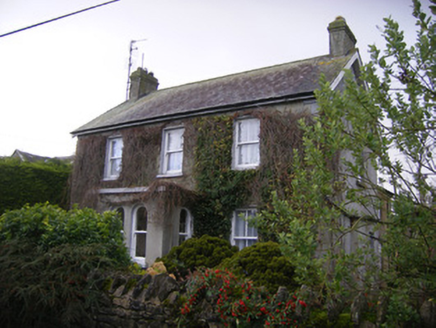 teacher's house1666 yd
Explorer Tom Teacher's house in Dohora is proud of its porch, which it thinks is actually a very important architectural statement…
 Castle (in ruins)Castle, tower house · 1.0 mi
Explorer Tom Castle in Tullovin was saved by a hero nobody remembers, who just threw a rock at an attacker and ran home. The tower…
 Castle IeversCastle, unclassified · 1.4 mi
Explorer Tom Castle Ievers ended up in the wrong place because someone moved it during a very bad argument with their spouse. It’s…
 Earthwork in Ballyphilip (coshma By.)Earthwork · 1.6 mi
Explorer Tom Earthwork in Ballyphilip is having a massive drama with the nearest tree, which refuses to move out of its way. It’s…
 Anhid CemeteryCemetery · 1.6 mi
Explorer Tom Anhid Cemetery is run by a very serious dog who hasn't seen a human in years. He guards the gate with intense suspicion…
 European ash2.1 mi
Explorer Tom European ash saw the most dramatic event when a squirrel dropped a nut on a priest’s head. It stands tall in Limerick…
 Dromin/Athlacca GAA pitchGAA ground · 2.6 mi
More archaeology and monuments in County Limerick · All of County Limerick

What do you know about this place?Tap to add a comment or ask a question