
Places near here
Photo credits
- Maker not stated on source page, www.alamy.com
- Maker not stated on source page, www.dreamstime.com
- Golfing in Ireland; photographer not stated, Source publisher
- Maker not stated on source page, uk.pinterest.com
- Maker not stated on source page, www.pinterest.com
- National Inventory of Architectural Heritage
- Hello, I am Bruce on Flickr, Wikimedia Commons · CC BY-SA 2.0
- Miguel Angel Masegosa Martínez, Wikimedia Commons · CC BY 2.0
- 瑞丽江的河水, Wikimedia Commons · CC BY-SA 4.0
 Fairy fort / earthen ringfort in Ballinaskea (arklow By.)Fairy fort / earthen ringfort · 1135 yd
Explorer Tom Ballinaskea’s fort was called 'Raheen' on old maps, probably because a giant tripped and fell into it. The legend says…
 Cist in GlenteigeCist · 1.4 mi
Explorer Tom Cist in Glenteige would teach history class if it weren't so lazy and buried on Snugborough Hill. It probably judges…
 European ClubGolf course · 1.7 mi
 Church in TemplerainyChurch · 2.3 mi
Explorer Tom Church in Templerainy is a monument whose information hasn’t been uploaded yet, which is suspiciously like my bank…
 Graveyard in KilmacooGraveyard · 4.2 mi
Explorer Tom Graveyard in Kilmacoo has a tall tale about a hidden tunnel to the pub that no one believes because there’s only a…
 Church (in Ruins)Church · 4.2 mi
Explorer Tom Church in Kilmacoo is so ghostly it would explain the 1800s to a teenager as 'before everyone had phones and manners.'…
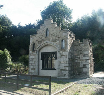 Ballyarthur HouseGate lodge · 4.3 mi
Explorer Tom Ballyarthur House is a gate lodge where locals swear if you don’t tip your hat, you’ll trip over your own shoelaces for…
 Graveyard in CastlemacadamGraveyard · 4.5 mi
Explorer Tom Graveyard in Castlemacadam thinks Dublin tourists are all noise and no soul, probably because they keep pointing at the…
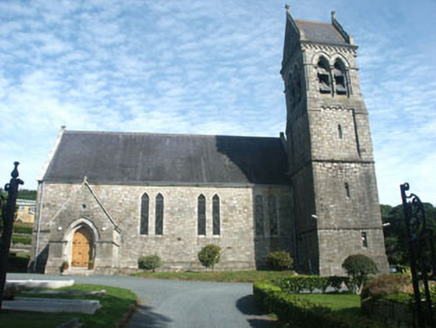 Holy Trinity Church (Castlemacadam)Church/chapel · 4.6 mi
Explorer Tom Holy Trinity Church (Castlemacadam) would absolutely win the best-in-show at the county fair just for sitting there…
 Scots Pine4.8 mi
Explorer Tom Scots Pine in County Wicklow is standing there looking like it just woke up from a very long nap in the hills. If it…
 Sweet Chestnut4.9 mi
Explorer Tom Sweet Chestnut in County Wicklow is famous for the fiddler who played under its branches all night long during a storm.…
 Viewing TowerHeritage attraction · 6.4 mi
Explorer Tom At Avondale Forest Park, the Viewing Tower rises 38 metres above the ground as if the trees held a meeting and…
More archaeology and monuments in County Wicklow · All of County Wicklow

What do you know about this place?Tap to add a comment or ask a question