
What is recorded here
This site was exposed during the monitoring of topsoil-stripping along the route of a Bord Gáis Éireann Pipeline to the West and excavated by Emer Dennehy (02E0492) who found a 'shallow curvilinear pit measured 1.28m north-west/south-east by 0.7m and had a maximum depth of 0.08m. The break of slope at the top and…
Read the whole record
From the National Monuments Service (Archaeological Survey of Ireland) record LI030-144
Places near here
Photo credits
- Maker not stated on source page, en.wikipedia.org
- Maker not stated on source page, ru.pinterest.com
- National Inventory of Architectural Heritage
- dougf, Geograph · CC BY-SA 2.0
- Maker not stated on source page, www.flickr.com
- Maker not stated on source page, www.geograph.ie
- Maker not stated on source page, nigelborrington.com
- Kmcnamee, Wikimedia Commons · CC BY-SA 4.0
- Sully1865 / Wikimedia Commons, commons.wikimedia.org
- Golfing in Ireland; photographer not stated, Source publisher
 Kilfinny Castle (in ruins)Castle, hall-house · 1149 yd
Explorer Tom Kilfinny Castle had a matchmaker working there who paired off local chiefs with great efficiency. It’s a hall-house…
 Kilfinny Church (in ruins)Church · 1299 yd
Explorer Tom Kilfinny Church has a hidden tunnel that leads directly to the pub, according to local legend and several hangover…
 Ballynakill HouseCountry house · 1453 yd
Explorer Tom Ballynakill House is dealing with a fairy dispute over parking rights in its own front garden right now. It’s a…
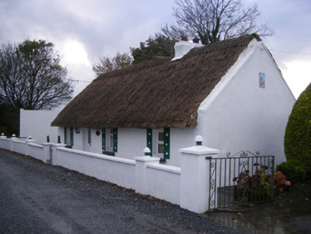 Leprechaun CottageHouse · 1.2 mi
Explorer Tom Leprechaun Cottage would tell you its gold is actually just old thatch and stubbornness after a few pints. It’s a…
 Castle (in ruins)Castle, tower house · 1.6 mi
Explorer Tom Dunnaman Castle got mixed up with its cousin in Cork and now nobody knows which one is which. It’s like trying to tell…
 Fairy fort / earthen ringfort in Kilmacanearla NorthFairy fort / earthen ringfort · 1.7 mi
Explorer Tom Kilmacanearla North’s fairy fort has a tree in the middle that’s definitely the boss. The bank is high enough to trip…
 Church (in ruins)Church · 1.7 mi
Explorer Tom Church in Dunnaman is hiding a scandal from 1615 that involves some serious property disputes. It’s now gone, so no one…
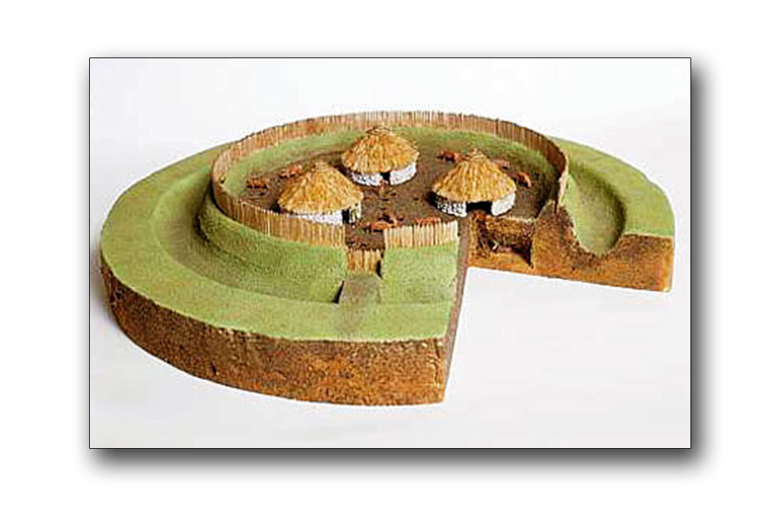 Fairy fort / earthen ringfort in Liskennett WestFairy fort / earthen ringfort · 2.1 mi
Explorer Tom Fairy fort / earthen ringfort in Liskennett West is covered in overgrowth, keeping its secrets safe from the wood next…
 Páirc Na nGael Cromadh, CroomGAA ground · 2.1 mi
 Páirc an Chrocaigh, Croagh/KilfinnyGAA ground · 3.9 mi
 The Golf Course at Adare ManorGolf course · 4.0 mi
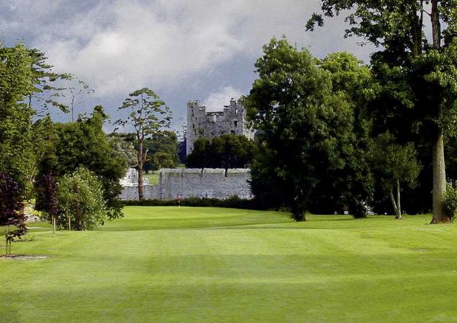 Adare Manor Golf ClubGolf course · 4.0 mi
More archaeology and monuments in County Limerick · All of County Limerick

What do you know about this place?Tap to add a comment or ask a question